Zalesovo geodata
Zalesovo (Altai Krai) is a populated place; located in Russia in Asia/Barnaul (GMT+7) time zone. With population of 7,936 people, there are 1817 cities with bigger population in this country. Compared to other cities in Russia, 55.3% of cities are located further ↑North; 81.9% of cities are located further ←West and 66.8% of cities have lower elevation than Zalesovo. Note1


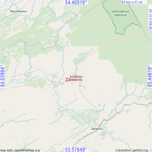
Zalesovo GPS coordinates[2]
53° 59' 38.004" North, 84° 44' 35.016" East
| Map corner | latitude | longitude |
|---|---|---|
| Upper-left | 54.40519°, | 84.03994° |
| Center: | 53.99389°, | 84.74306° |
| Lower-right: | 53.57849°, | 85.44619° |
| Map W x H: | 91.9×91.9 km | = 57.1×57.1mi |
| max Lat: | 73.50819° ⇑55.3% North |
| Zalesovo: | 53.99389° |
| min Lat: | ⇓44.7% South 41.28413° |
| min Long | Zalesovo | max Long |
| -179.12198° | 84.74306° | 179.35046° |
| W 81.9%⇐ | ⇒18.1% E |
Elevation
Elevation of Zalesovo is 187 m = 614 ft, and this is 15.6 m = 51 ft below average elevation for this country.
| Max E: |
2518 m = 8261 ft | 33.2% |
| Avg. | 202.6 m = 665 ft | |
| Zalesovo | 187 m = 614 ft | |
Min E: |
-28 m = -92 ft | 66.8% |
See also: Russia elevation on elevation.city.
Geographical zone
Zalesovo is located in North temperate zone (between Tropic of Cancer and the Arctic Circle). Distance of this North polar circle is 1397.6 km =868.4 mi to North.| Distance of | km | miles | from Zalesovo |
|---|---|---|---|
| North Pole | 4003.5 | 2487.7 | to North |
| Arctic Circle | 1397.6 | 868.4 | to North |
| Tropic Cancer | 3397.6 | 2111.2 | to South |
| Equator | 6003.6 | 3730.5 | to South |


Nearby cities:
15 places around Zalesovo: (largest is in red/bold)
• Borovikha
80.4 km =50 mi,  227°
227°
• Gorskino
77.9 km =48.4 mi,  47°
47°
• Kosikha
71.1 km =44.2 mi,  188°
188°
• Krasnoye
80 km =49.7 mi,  31°
31°
• Kytmanovo
75.4 km =46.9 mi,  142°
142°
• Logovskoye
66 km =41 mi,  212°
212°
• Maslyanino
52.1 km =32.4 mi,  318°
318°
• Pervomayskoye
56.4 km =35 mi,  237°
237°
• Salair
73.6 km =45.7 mi,  68°
68°
• Sibirskiy
79.6 km =49.5 mi, 234°
• Sorokino
29.4 km =18.3 mi,  157°
157°
• Tal’menka
79.4 km =49.3 mi,  255°
255°
• Ursk
66.7 km =41.4 mi,  39°
39°
• Zarinsk
34.6 km =21.5 mi, 156°
• Zudilovo
78.9 km =49 mi, 225°
Sources, notices
• [Note1] Compared only with cities in Russia existing in our database
• [Src1] Map data: © OpenStreetMap contributors (CC-BY-SA)
• [Src2] Other city data from geonames.org with taken over terms of usage.
• [Src3] Geographical zone / Annual Mean Temperature by Robert A. Rohde @ Wikipedia
