Turochak geodata
Turochak (Altai) is a populated place; located in Russia in Asia/Barnaul (GMT+7) time zone. With population of 5,514 people, there are 2434 cities with bigger population in this country. Compared to other cities in Russia, 67.6% of cities are located further ↑North; 84.5% of cities are located further ←West and 85.4% of cities have lower elevation than Turochak. Note1


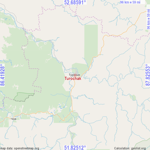
Turochak GPS coordinates[2]
52° 15' 27.36" North, 87° 7' 20.64" East
| Map corner | latitude | longitude |
|---|---|---|
| Upper-left | 52.68591°, | 86.41928° |
| Center: | 52.2576°, | 87.1224° |
| Lower-right: | 51.82512°, | 87.82553° |
| Map W x H: | 95.7×95.7 km | = 59.5×59.5mi |
| max Lat: | 73.50819° ⇑67.6% North |
| Turochak: | 52.2576° |
| min Lat: | ⇓32.4% South 41.28413° |
| min Long | Turochak | max Long |
| -179.12198° | 87.1224° | 179.35046° |
| W 84.5%⇐ | ⇒15.5% E |
Elevation
Elevation of Turochak is 329 m = 1079 ft, and this is 126.4 m = 415 ft above average elevation for this country.
| Max E: |
2518 m = 8261 ft | 14.6% |
| Turochak | 329 m 1079 ft | |
| Avg. | 202.6 m = 665 ft | |
Min E: |
-28 m = -92 ft | 85.4% |
See also: Russia elevation on elevation.city.
Geographical zone
Turochak is located in North temperate zone (between Tropic of Cancer and the Arctic Circle). Distance of this North polar circle is 1590.7 km =988.4 mi to North.| Distance of | km | miles | from Turochak |
|---|---|---|---|
| North Pole | 4196.6 | 2607.6 | to North |
| Arctic Circle | 1590.7 | 988.4 | to North |
| Tropic Cancer | 3204.6 | 1991.2 | to South |
| Equator | 5810.5 | 3610.5 | to South |


Nearby cities:
15 places around Turochak: (largest is in red/bold)
• Artybash
52.7 km =32.7 mi,  168°
168°
• Biyka
51.7 km =32.1 mi,  135°
135°
• Choya
47.9 km =29.8 mi,  235°
235°
• Chugunash
81.7 km =50.8 mi,  33°
33°
• Dmitriyevka
24.9 km =15.5 mi,  325°
325°
• Iogach
53.8 km =33.4 mi, 169°
• Karabinka
76 km =47.2 mi,  309°
309°
• Kaz
73.8 km =45.9 mi,  9°
9°
• Krasnogorskoye
63 km =39.1 mi,  273°
273°
• Neninka
77.8 km =48.3 mi, 306°
• Platovo
85.5 km =53.1 mi,  256°
256°
• Solton
78.3 km =48.7 mi, 326°
• Spassk
69.2 km =43 mi,  38°
38°
• Tashtagol
76.7 km =47.7 mi, 42°
• Ust’-Isha
79.1 km =49.2 mi, 263°
Sources, notices
• [Note1] Compared only with cities in Russia existing in our database
• [Src1] Map data: © OpenStreetMap contributors (CC-BY-SA)
• [Src2] Other city data from geonames.org with taken over terms of usage.
• [Src3] Geographical zone / Annual Mean Temperature by Robert A. Rohde @ Wikipedia
