Tashtyp geodata
Tashtyp (Khakasiya Republic) is a populated place; located in Russia in Asia/Krasnoyarsk (GMT+7) time zone. With population of 6,379 people, there are 2159 cities with bigger population in this country. Compared to other cities in Russia, 64.1% of cities are located further ↑North; 85.6% of cities are located further ←West and 89.7% of cities have lower elevation than Tashtyp. Note1


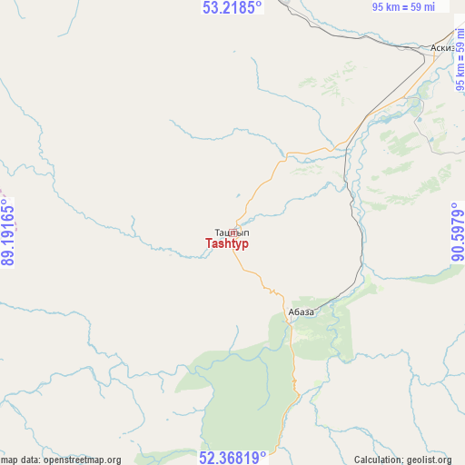
Tashtyp GPS coordinates[2]
52° 47' 43.512" North, 89° 53' 41.172" East
| Map corner | latitude | longitude |
|---|---|---|
| Upper-left | 53.2185°, | 89.19165° |
| Center: | 52.79542°, | 89.89477° |
| Lower-right: | 52.36819°, | 90.5979° |
| Map W x H: | 94.5×94.5 km | = 58.7×58.7mi |
| max Lat: | 73.50819° ⇑64.1% North |
| Tashtyp: | 52.79542° |
| min Lat: | ⇓35.9% South 41.28413° |
| min Long | Tashtyp | max Long |
| -179.12198° | 89.89477° | 179.35046° |
| W 85.6%⇐ | ⇒14.4% E |
Elevation
Elevation of Tashtyp is 447 m = 1467 ft, and this is 244.4 m = 802 ft above average elevation for this country.
| Max E: |
2518 m = 8261 ft | 10.3% |
| Tashtyp | 447 m 1467 ft | |
| Avg. | 202.6 m = 665 ft | |
Min E: |
-28 m = -92 ft | 89.7% |
See also: Russia elevation on elevation.city.
Geographical zone
Tashtyp is located in North temperate zone (between Tropic of Cancer and the Arctic Circle). Distance of this North polar circle is 1530.9 km =951.3 mi to North.| Distance of | km | miles | from Tashtyp |
|---|---|---|---|
| North Pole | 4136.8 | 2570.5 | to North |
| Arctic Circle | 1530.9 | 951.3 | to North |
| Tropic Cancer | 3264.4 | 2028.4 | to South |
| Equator | 5870.3 | 3647.6 | to South |


Nearby cities:
15 places around Tashtyp: (largest is in red/bold)
• Abaza
20.5 km =12.7 mi,  139°
139°
• Askiz
52.2 km =32.4 mi,  43°
43°
• Askiz
56.5 km =35.1 mi,  48°
48°
• Belyy Yar
134.2 km =83.4 mi, 47°
• Beya
74.1 km =46 mi,  67°
67°
• Biskamzha
76.8 km =47.7 mi,  341°
341°
• Cherëmushki
102.5 km =63.7 mi,  86°
86°
• Chugunash
142.1 km =88.3 mi,  273°
273°
• Il’ichevo
140.7 km =87.4 mi, 67°
• Mayna
109.1 km =67.8 mi,  77°
77°
• Sayanogorsk
105.9 km =65.8 mi, 72°
• Sheregesh
128.8 km =80 mi,  276°
276°
• Sorsk
136.3 km =84.7 mi,  9°
9°
• Tashtagol
134.9 km =83.8 mi, 268°
• Vershina Tei
57.2 km =35.5 mi, 336°
Sources, notices
• [Note1] Compared only with cities in Russia existing in our database
• [Src1] Map data: © OpenStreetMap contributors (CC-BY-SA)
• [Src2] Other city data from geonames.org with taken over terms of usage.
• [Src3] Geographical zone / Annual Mean Temperature by Robert A. Rohde @ Wikipedia
