Sherkaly geodata
Sherkaly (Khanty-Mansia) is a populated place; located in Russia in Asia/Yekaterinburg (GMT+5) time zone. With population of 1,361 people, there are 4446 cities with bigger population in this country. Compared to other cities in Russia, 96% of cities are located further ↓South; 76% of cities are located further ←West and 84.9% of cities have higher elevation than Sherkaly. Note1


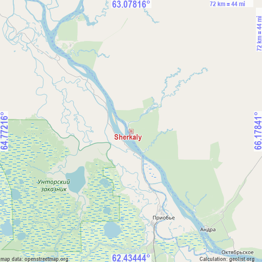
Sherkaly GPS coordinates[2]
62° 45' 29.016" North, 65° 28' 31.008" East
| Map corner | latitude | longitude |
|---|---|---|
| Upper-left | 63.07816°, | 64.77216° |
| Center: | 62.75806°, | 65.47528° |
| Lower-right: | 62.43444°, | 66.17841° |
| Map W x H: | 71.6×71.6 km | = 44.5×44.5mi |
| max Lat: | 73.50819° ⇑4% North |
| Sherkaly: | 62.75806° |
| min Lat: | ⇓96% South 41.28413° |
| min Long | Sherkaly | max Long |
| -179.12198° | 65.47528° | 179.35046° |
| W 76%⇐ | ⇒24% E |
Elevation
Elevation of Sherkaly is 48 m = 157 ft, and this is 154.6 m = 507 ft below average elevation for this country.
| Max E: |
2518 m = 8261 ft | 84.9% |
| Avg. | 202.6 m = 665 ft | |
| Sherkaly | 48 m = 157 ft | |
Min E: |
-28 m = -92 ft | 15.1% |
See also: Russia elevation on elevation.city.
Geographical zone
Sherkaly is located in North temperate zone (between Tropic of Cancer and the Arctic Circle). Distance of this North polar circle is 423.1 km =262.9 mi to North.| Distance of | km | miles | from Sherkaly |
|---|---|---|---|
| North Pole | 3029 | 1882.1 | to North |
| Arctic Circle | 423.1 | 262.9 | to North |
| Tropic Cancer | 4372.1 | 2716.7 | to South |
| Equator | 6978 | 4335.9 | to South |


Nearby cities:
15 places around Sherkaly: (largest is in red/bold)
• Agirish
156.8 km =97.4 mi,  233°
233°
• Andra
34.3 km =21.3 mi,  142°
142°
• Beloyarskiy
121.8 km =75.7 mi,  29°
29°
• Berëzovo
133 km =82.6 mi,  350°
350°
• Igrim
71.9 km =44.7 mi,  311°
311°
• Khulimsunt
195 km =121.2 mi,  273°
273°
• Kommunisticheskiy
130.6 km =81.2 mi,  203°
203°
• Malinovskiy
221.7 km =137.8 mi,  218°
218°
• Nyagan
68.8 km =42.8 mi,  183°
183°
• Pelym
266.3 km =165.5 mi, 223°
• Pionerskiy
220.8 km =137.2 mi, 218°
• Priob’ye
27.1 km =16.8 mi,  166°
166°
• Sovetskiy
183.9 km =114.3 mi,  212°
212°
• Yugorsk
195.8 km =121.7 mi, 214°
• Zelenoborsk
161.3 km =100.2 mi, 207°
Sources, notices
• [Note1] Compared only with cities in Russia existing in our database
• [Src1] Map data: © OpenStreetMap contributors (CC-BY-SA)
• [Src2] Other city data from geonames.org with taken over terms of usage.
• [Src3] Geographical zone / Annual Mean Temperature by Robert A. Rohde @ Wikipedia
