Sovetskiy geodata
Sovetskiy (Khanty-Mansia) is a populated place; located in Russia in Asia/Yekaterinburg (GMT+5) time zone. With population of 23,685 people, there are 776 cities with bigger population in this country. Compared to other cities in Russia, 93.8% of cities are located further ↓South; 75.1% of cities are located further ←West and 66% of cities have higher elevation than Sovetskiy. Note1


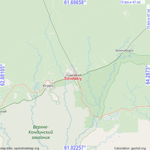
Sovetskiy GPS coordinates[2]
61° 21' 41.004" North, 63° 35' 3.012" East
| Map corner | latitude | longitude |
|---|---|---|
| Upper-left | 61.69658°, | 62.88105° |
| Center: | 61.36139°, | 63.58417° |
| Lower-right: | 61.02257°, | 64.2873° |
| Map W x H: | 74.9×74.9 km | = 46.5×46.5mi |
| max Lat: | 73.50819° ⇑6.2% North |
| Sovetskiy: | 61.36139° |
| min Lat: | ⇓93.8% South 41.28413° |
| min Long | Sovetskiy | max Long |
| -179.12198° | 63.58417° | 179.35046° |
| W 75.1%⇐ | ⇒24.9% E |
Elevation
Elevation of Sovetskiy is 111 m = 364 ft, and this is 91.6 m = 301 ft below average elevation for this country.
| Max E: |
2518 m = 8261 ft | 66% |
| Avg. | 202.6 m = 665 ft | |
| Sovetskiy | 111 m = 364 ft | |
Min E: |
-28 m = -92 ft | 34% |
See also: Russia elevation on elevation.city.
Geographical zone
Sovetskiy is located in North temperate zone (between Tropic of Cancer and the Arctic Circle). Distance of this North polar circle is 578.4 km =359.4 mi to North.| Distance of | km | miles | from Sovetskiy |
|---|---|---|---|
| North Pole | 3184.3 | 1978.6 | to North |
| Arctic Circle | 578.4 | 359.4 | to North |
| Tropic Cancer | 4216.8 | 2620.2 | to South |
| Equator | 6822.7 | 4239.4 | to South |


Nearby cities:
15 places around Sovetskiy: (largest is in red/bold)
• Agirish
69.3 km =43.1 mi,  334°
334°
• Andra
175.9 km =109.3 mi,  43°
43°
• Ivdel’
186 km =115.6 mi,  246°
246°
• Kommunisticheskiy
59.3 km =36.8 mi,  53°
53°
• Malinovskiy
43.9 km =27.3 mi, 245°
• Nyagan
128.7 km =80 mi, 47°
• Ous
121.9 km =75.7 mi, 245°
• Pelym
93.5 km =58.1 mi, 245°
• Pionerskiy
42.5 km =26.4 mi,  244°
244°
• Polunochnoye
178.7 km =111 mi, 252°
• Priob’ye
166.4 km =103.4 mi, 39°
• Sherkaly
183.9 km =114.3 mi,  32°
32°
• Uray
151.7 km =94.3 mi,  154°
154°
• Yugorsk
14.6 km =9.1 mi, 247°
• Zelenoborsk
27.3 km =17 mi,  63°
63°
Sources, notices
• [Note1] Compared only with cities in Russia existing in our database
• [Src1] Map data: © OpenStreetMap contributors (CC-BY-SA)
• [Src2] Other city data from geonames.org with taken over terms of usage.
• [Src3] Geographical zone / Annual Mean Temperature by Robert A. Rohde @ Wikipedia
