Karmah an Nuzul geodata
Karmah an Nuzul (Northern State) is a populated place; located in Sudan in Africa/Khartoum (GMT+2) time zone. With population of 3,928 people, there are 70 cities with bigger population in this country. Compared to other cities in Sudan, 98.6% of cities are located further ↓South; 73.2% of cities are located further →East and 95.8% of cities have higher elevation than Karmah an Nuzul. Note1


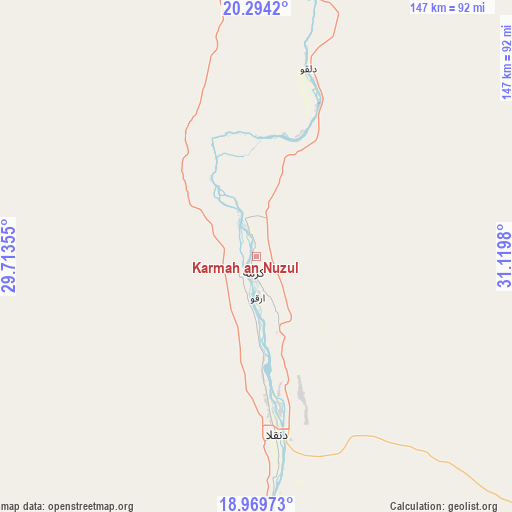
Karmah an Nuzul GPS coordinates[2]
19° 37' 59.988" North, 30° 25' 0.012" East
| Map corner | latitude | longitude |
|---|---|---|
| Upper-left | 20.2942°, | 29.71355° |
| Center: | 19.63333°, | 30.41667° |
| Lower-right: | 18.96973°, | 31.1198° |
| Map W x H: | 147.3×147.3 km | = 91.5×91.5mi |
| max Lat: | 21.06667° ⇑1.4% North |
| Karmah an Nuzul: | 19.63333° |
| min Lat: | ⇓98.6% South 10.55° |
| min Long | Karmah an Nuzul | max Long |
| 22.44725° | 30.41667° | 37.729° |
| W 26.8%⇐ | ⇒73.2% E |
Elevation
Elevation of Karmah an Nuzul is 224 m = 735 ft, and this is 225.1 m = 739 ft below average elevation for this country.
| Max E: |
1159 m = 3802 ft | 95.8% |
| Avg. | 449.1 m = 1473 ft | |
| Karmah an Nuzul | 224 m = 735 ft | |
Min E: |
4 m = 13 ft | 4.2% |
See also: Sudan elevation on elevation.city.
Geographical zone
Karmah an Nuzul is located in North Torrid zone (between Equator and Tropic of Cancer). Distance of this Northern Tropic circle is 422.9 km =262.8 mi to North.| Distance of | km | miles | from Karmah an Nuzul |
|---|---|---|---|
| North Pole | 7824 | 4861.6 | to North |
| Arctic Circle | 5218.2 | 3242.4 | to North |
| Tropic Cancer | 422.9 | 262.8 | to North |
| Equator | 2183 | 1356.5 | to South |


Nearby cities:
7 places around Karmah an Nuzul: (largest is in red/bold)
• Ad Dabbah
184.8 km =114.8 mi,  162°
162°
• Argo
13 km =8.1 mi,  180°
180°
• Berber
415.9 km =258.4 mi,  115°
115°
• Dongola
50.6 km =31.4 mi,  172°
172°
• El Bauga
397.6 km =247.1 mi,  112°
112°
• Kuraymah
192.8 km =119.8 mi,  128°
128°
• Merowe
195.5 km =121.5 mi, 131°
Sources, notices
• [Note1] Compared only with cities in Sudan existing in our database
• [Src1] Map data: © OpenStreetMap contributors (CC-BY-SA)
• [Src2] Other city data from geonames.org with taken over terms of usage.
• [Src3] Geographical zone / Annual Mean Temperature by Robert A. Rohde @ Wikipedia
