Dongola geodata
Dongola (Northern State) is a seat of a first-order administrative division; located in Sudan in Africa/Khartoum (GMT+2) time zone. With population of 13,473 people, there are 48 cities with bigger population in this country. Compared to other cities in Sudan, 94.4% of cities are located further ↓South; 70.4% of cities are located further →East and 93% of cities have higher elevation than Dongola. Note1


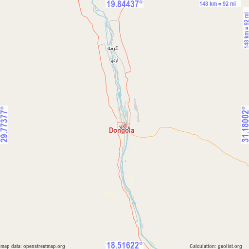
Dongola GPS coordinates[2]
19° 10' 53.868" North, 30° 28' 36.804" East
| Map corner | latitude | longitude |
|---|---|---|
| Upper-left | 19.84437°, | 29.77377° |
| Center: | 19.18163°, | 30.47689° |
| Lower-right: | 18.51622°, | 31.18002° |
| Map W x H: | 147.7×147.7 km | = 91.8×91.8mi |
| max Lat: | 21.06667° ⇑5.6% North |
| Dongola: | 19.18163° |
| min Lat: | ⇓94.4% South 10.55° |
| min Long | Dongola | max Long |
| 22.44725° | 30.47689° | 37.729° |
| W 29.6%⇐ | ⇒70.4% E |
Elevation
Elevation of Dongola is 226 m = 741 ft, and this is 223.1 m = 732 ft below average elevation for this country.
| Max E: |
1159 m = 3802 ft | 93% |
| Avg. | 449.1 m = 1473 ft | |
| Dongola | 226 m = 741 ft | |
Min E: |
4 m = 13 ft | 7% |
See also: Sudan elevation on elevation.city.
Geographical zone
Dongola is located in North Torrid zone (between Equator and Tropic of Cancer). Distance of this Northern Tropic circle is 473.1 km =294 mi to North.| Distance of | km | miles | from Dongola |
|---|---|---|---|
| North Pole | 7874.3 | 4892.9 | to North |
| Arctic Circle | 5268.4 | 3273.6 | to North |
| Tropic Cancer | 473.1 | 294 | to North |
| Equator | 2132.8 | 1325.3 | to South |


Nearby cities:
11 places around Dongola: (largest is in red/bold)
• Ad Dabbah
135.3 km =84.1 mi,  158°
158°
• Argo
37.8 km =23.5 mi,  350°
350°
• Atbara
405.1 km =251.7 mi,  113°
113°
• Berber
391.3 km =243.1 mi, 109°
• Ed Damer
408.6 km =253.9 mi,  115°
115°
• El Bauga
375.5 km =233.3 mi, 105°
• El Matama
410.3 km =254.9 mi,  132°
132°
• Karmah an Nuzul
50.6 km =31.4 mi, 352°
• Kuraymah
160.6 km =99.8 mi, 115°
• Merowe
161.2 km =100.2 mi, 119°
• Shendi
417.7 km =259.5 mi, 131°
Sources, notices
• [Note1] Compared only with cities in Sudan existing in our database
• [Src1] Map data: © OpenStreetMap contributors (CC-BY-SA)
• [Src2] Other city data from geonames.org with taken over terms of usage.
• [Src3] Geographical zone / Annual Mean Temperature by Robert A. Rohde @ Wikipedia
