El Bauga geodata
El Bauga (River Nile) is a populated place; located in Sudan in Africa/Khartoum (GMT+2) time zone. With population of 19,141 people, there are 42 cities with bigger population in this country. Compared to other cities in Sudan, 87.3% of cities are located further ↓South; 73.2% of cities are located further ←West and 85.9% of cities have higher elevation than El Bauga. Note1


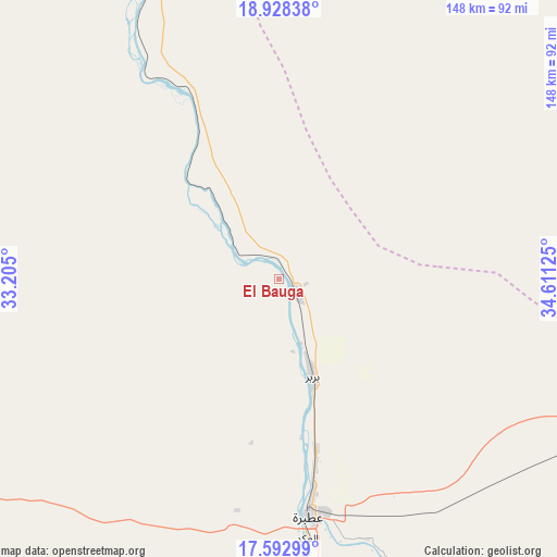
El Bauga GPS coordinates[2]
18° 15' 43.092" North, 33° 54' 29.232" East
| Map corner | latitude | longitude |
|---|---|---|
| Upper-left | 18.92838°, | 33.205° |
| Center: | 18.26197°, | 33.90812° |
| Lower-right: | 17.59299°, | 34.61125° |
| Map W x H: | 148.5×148.5 km | = 92.3×92.3mi |
| max Lat: | 21.06667° ⇑12.7% North |
| El Bauga: | 18.26197° |
| min Lat: | ⇓87.3% South 10.55° |
| min Long | El Bauga | max Long |
| 22.44725° | 33.90812° | 37.729° |
| W 73.2%⇐ | ⇒26.8% E |
Elevation
Elevation of El Bauga is 348 m = 1142 ft, and this is 101.1 m = 332 ft below average elevation for this country.
| Max E: |
1159 m = 3802 ft | 85.9% |
| Avg. | 449.1 m = 1473 ft | |
| El Bauga | 348 m = 1142 ft | |
Min E: |
4 m = 13 ft | 14.1% |
See also: Sudan elevation on elevation.city.
Geographical zone
El Bauga is located in North Torrid zone (between Equator and Tropic of Cancer). Distance of this Northern Tropic circle is 575.4 km =357.5 mi to North.| Distance of | km | miles | from El Bauga |
|---|---|---|---|
| North Pole | 7976.5 | 4956.4 | to North |
| Arctic Circle | 5370.6 | 3337.1 | to North |
| Tropic Cancer | 575.4 | 357.5 | to North |
| Equator | 2030.5 | 1261.7 | to South |


Nearby cities:
15 places around El Bauga: (largest is in red/bold)
• Ad Dabbah
313.4 km =194.7 mi,  265°
265°
• Aroma
360.4 km =223.9 mi,  138°
138°
• Atbara
62.8 km =39 mi,  172°
172°
• Berber
27.9 km =17.3 mi,  163°
163°
• Dongola
375.5 km =233.3 mi,  285°
285°
• Ed Damer
74 km =46 mi, 174°
• El Matama
182.3 km =113.3 mi,  198°
198°
• Khartoum
335 km =208.2 mi,  205°
205°
• Kuraymah
219.5 km =136.4 mi,  278°
278°
• Merowe
222.5 km =138.3 mi, 275°
• Omdurman
328.4 km =204.1 mi, 207°
• Sawākin
372.6 km =231.5 mi,  75°
75°
• Shendi
181.7 km =112.9 mi, 196°
• Wad Rāwah
354.4 km =220.2 mi,  193°
193°
• Wagar
338.3 km =210.2 mi,  133°
133°
Sources, notices
• [Note1] Compared only with cities in Sudan existing in our database
• [Src1] Map data: © OpenStreetMap contributors (CC-BY-SA)
• [Src2] Other city data from geonames.org with taken over terms of usage.
• [Src3] Geographical zone / Annual Mean Temperature by Robert A. Rohde @ Wikipedia
