Knutby geodata
Knutby (Uppsala) is a populated place; located in Sweden in Europe/Stockholm (GMT+2) time zone. With population of 705 people, there are 1060 cities with bigger population in this country. Compared to other cities in Sweden, 72.6% of cities are located further ↓South; 88.6% of cities are located further ←West and 76.2% of cities have higher elevation than Knutby. Note1


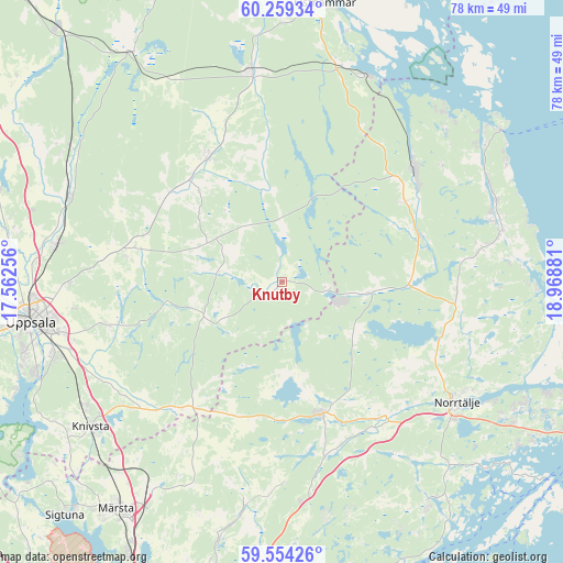
Knutby GPS coordinates[2]
59° 54' 31.212" North, 18° 15' 56.448" East
| Map corner | latitude | longitude |
|---|---|---|
| Upper-left | 60.25934°, | 17.56256° |
| Center: | 59.90867°, | 18.26568° |
| Lower-right: | 59.55426°, | 18.96881° |
| Map W x H: | 78.4×78.4 km | = 48.7×48.7mi |
| max Lat: | 67.85572° ⇑27.4% North |
| Knutby: | 59.90867° |
| min Lat: | ⇓72.6% South 55.34337° |
| min Long | Knutby | max Long |
| 11.1712° | 18.26568° | 24.13676° |
| W 88.6%⇐ | ⇒11.4% E |
Elevation
Elevation of Knutby is 19 m = 62 ft, and this is 63.6 m = 209 ft below average elevation for this country.
| Max E: |
663 m = 2175 ft | 76.2% |
| Avg. | 82.6 m = 271 ft | |
| Knutby | 19 m = 62 ft | |
Min E: |
-1 m = -3 ft | 23.8% |
See also: Sweden elevation on elevation.city.
Geographical zone
Knutby is located in North temperate zone (between Tropic of Cancer and the Arctic Circle). Distance of this North polar circle is 740 km =459.8 mi to North.| Distance of | km | miles | from Knutby |
|---|---|---|---|
| North Pole | 3345.8 | 2079 | to North |
| Arctic Circle | 740 | 459.8 | to North |
| Tropic Cancer | 4055.3 | 2519.8 | to South |
| Equator | 6661.2 | 4139.1 | to South |


Nearby cities:
15 places around Knutby: (largest is in red/bold)
• Almunge
12.4 km =7.7 mi,  256°
256°
• Alunda
20.3 km =12.6 mi,  330°
330°
• Edsbro
12.7 km =7.9 mi,  97°
97°
• Gimo
29.7 km =18.5 mi,  351°
351°
• Gunsta
25 km =15.5 mi,  254°
254°
• Gåvsta
21.9 km =13.6 mi,  280°
280°
• Hallstavik
24.3 km =15.1 mi,  49°
49°
• Kårsta
28.1 km =17.5 mi,  179°
179°
• Länna
18 km =11.2 mi, 256°
• Norrtälje
29.7 km =18.5 mi,  124°
124°
• Nykvarn
12.2 km =7.6 mi,  170°
170°
• Rimbo
18.5 km =11.5 mi,  162°
162°
• Skänninge
12.4 km =7.7 mi,  77°
77°
• Svanberga
23.5 km =14.6 mi,  107°
107°
• Älmsta
30.5 km =19 mi, 77°
Sources, notices
• [Note1] Compared only with cities in Sweden existing in our database
• [Src1] Map data: © OpenStreetMap contributors (CC-BY-SA)
• [Src2] Other city data from geonames.org with taken over terms of usage.
• [Src3] Geographical zone / Annual Mean Temperature by Robert A. Rohde @ Wikipedia
