Hjärnarp geodata
Hjärnarp (Skåne) is a populated place; located in Sweden in Europe/Stockholm (GMT+2) time zone. With population of 1,095 people, there are 772 cities with bigger population in this country. Compared to other cities in Sweden, 85.8% of cities are located further ↑North; 82.6% of cities are located further →East and 54.7% of cities have higher elevation than Hjärnarp. Note1


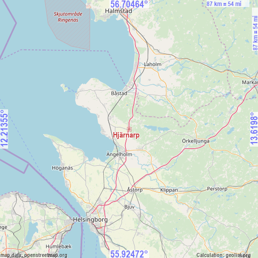
Hjärnarp GPS coordinates[2]
56° 19' 0.012" North, 12° 55' 0.012" East
| Map corner | latitude | longitude |
|---|---|---|
| Upper-left | 56.70464°, | 12.21355° |
| Center: | 56.31667°, | 12.91667° |
| Lower-right: | 55.92472°, | 13.6198° |
| Map W x H: | 86.7×86.7 km | = 53.9×53.9mi |
| max Lat: | 67.85572° ⇑85.8% North |
| Hjärnarp: | 56.31667° |
| min Lat: | ⇓14.2% South 55.34337° |
| min Long | Hjärnarp | max Long |
| 11.1712° | 12.91667° | 24.13676° |
| W 17.4%⇐ | ⇒82.6% E |
Elevation
Elevation of Hjärnarp is 43 m = 141 ft, and this is 39.6 m = 130 ft below average elevation for this country.
| Max E: |
663 m = 2175 ft | 54.7% |
| Avg. | 82.6 m = 271 ft | |
| Hjärnarp | 43 m = 141 ft | |
Min E: |
-1 m = -3 ft | 45.3% |
See also: Sweden elevation on elevation.city.
Geographical zone
Hjärnarp is located in North temperate zone (between Tropic of Cancer and the Arctic Circle). Distance of this North polar circle is 1139.3 km =707.9 mi to North.| Distance of | km | miles | from Hjärnarp |
|---|---|---|---|
| North Pole | 3745.2 | 2327.2 | to North |
| Arctic Circle | 1139.3 | 707.9 | to North |
| Tropic Cancer | 3655.9 | 2271.7 | to South |
| Equator | 6261.8 | 3890.9 | to South |


Nearby cities:
15 places around Hjärnarp: (largest is in red/bold)
• Båstad
12.9 km =8 mi,  342°
342°
• Förslöv
7.2 km =4.5 mi,  301°
301°
• Grevie
9.1 km =5.7 mi,  307°
307°
• Grevie
11.7 km =7.3 mi,  315°
315°
• Jonstorp
17.7 km =11 mi,  238°
238°
• Munka-Ljungby
8 km =5 mi,  157°
157°
• Skepparkroken
7.7 km =4.8 mi,  248°
248°
• Skottorp
15 km =9.3 mi,  10°
10°
• Strövelstorp
17 km =10.6 mi,  196°
196°
• Vejbystrand
9.2 km =5.7 mi,  270°
270°
• Västra Karup
15.1 km =9.4 mi, 317°
• Våxtorp
16.8 km =10.4 mi,  48°
48°
• Ängelholm
8.9 km =5.5 mi, 202°
• Östra Karup
12.2 km =7.6 mi, 5°
• Östra Ljungby
17.2 km =10.7 mi,  141°
141°
Sources, notices
• [Note1] Compared only with cities in Sweden existing in our database
• [Src1] Map data: © OpenStreetMap contributors (CC-BY-SA)
• [Src2] Other city data from geonames.org with taken over terms of usage.
• [Src3] Geographical zone / Annual Mean Temperature by Robert A. Rohde @ Wikipedia
