Furulund geodata
Furulund (Västra Götaland) is a populated place; located in Sweden in Europe/Stockholm (GMT+2) time zone. With population of 3,888 people, there are 332 cities with bigger population in this country. Compared to other cities in Sweden, 67% of cities are located further ↑North; 93.1% of cities are located further →East and 80.3% of cities have lower elevation than Furulund. Note1


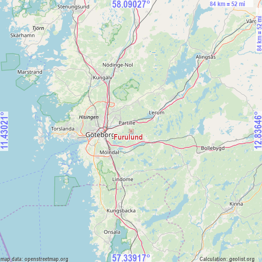
Furulund GPS coordinates[2]
57° 43' 0.012" North, 12° 7' 59.988" East
| Map corner | latitude | longitude |
|---|---|---|
| Upper-left | 58.09027°, | 11.43021° |
| Center: | 57.71667°, | 12.13333° |
| Lower-right: | 57.33917°, | 12.83646° |
| Map W x H: | 83.5×83.5 km | = 51.9×51.9mi |
| max Lat: | 67.85572° ⇑67% North |
| Furulund: | 57.71667° |
| min Lat: | ⇓33% South 55.34337° |
| min Long | Furulund | max Long |
| 11.1712° | 12.13333° | 24.13676° |
| W 6.9%⇐ | ⇒93.1% E |
Elevation
Elevation of Furulund is 145 m = 476 ft, and this is 62.4 m = 205 ft above average elevation for this country.
| Max E: |
663 m = 2175 ft | 19.7% |
| Furulund | 145 m 476 ft | |
| Avg. | 82.6 m = 271 ft | |
Min E: |
-1 m = -3 ft | 80.3% |
See also: Sweden elevation on elevation.city.
Geographical zone
Furulund is located in North temperate zone (between Tropic of Cancer and the Arctic Circle). Distance of this North polar circle is 983.7 km =611.2 mi to North.| Distance of | km | miles | from Furulund |
|---|---|---|---|
| North Pole | 3589.6 | 2230.5 | to North |
| Arctic Circle | 983.7 | 611.2 | to North |
| Tropic Cancer | 3811.6 | 2368.4 | to South |
| Equator | 6417.5 | 3987.6 | to South |


Nearby cities:
15 places around Furulund: (largest is in red/bold)
• Angered
8 km =5 mi,  345°
345°
• Eriksbo
8.2 km =5.1 mi,  318°
318°
• Göteborg
9.9 km =6.2 mi,  263°
263°
• Hammarkullen
9.1 km =5.7 mi, 320°
• Jonsered
4 km =2.5 mi,  36°
36°
• Kåhög
4 km =2.5 mi,  16°
16°
• Landvetter
5.7 km =3.5 mi,  125°
125°
• Lerum
10 km =6.2 mi,  53°
53°
• Mölndal
9.8 km =6.1 mi,  226°
226°
• Mölnlycke
6.5 km =4 mi,  188°
188°
• Olofstorp
10 km =6.2 mi,  12°
12°
• Partille
3 km =1.9 mi,  327°
327°
• Rannebergen
10.2 km =6.3 mi,  338°
338°
• Öjersjö
2 km =1.2 mi,  178°
178°
• Öxeryd
8.9 km =5.5 mi,  75°
75°
Sources, notices
• [Note1] Compared only with cities in Sweden existing in our database
• [Src1] Map data: © OpenStreetMap contributors (CC-BY-SA)
• [Src2] Other city data from geonames.org with taken over terms of usage.
• [Src3] Geographical zone / Annual Mean Temperature by Robert A. Rohde @ Wikipedia
