Älvängen geodata
Älvängen (Västra Götaland) is a populated place; located in Sweden in Europe/Stockholm (GMT+2) time zone. With population of 4,759 people, there are 285 cities with bigger population in this country. Compared to other cities in Sweden, 61.3% of cities are located further ↑North; 93.2% of cities are located further →East and 91.5% of cities have higher elevation than Älvängen. Note1


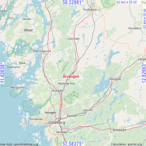
Älvängen GPS coordinates[2]
57° 57' 31.392" North, 12° 7' 24.6" East
| Map corner | latitude | longitude |
|---|---|---|
| Upper-left | 58.32981°, | 11.42038° |
| Center: | 57.95872°, | 12.1235° |
| Lower-right: | 57.58375°, | 12.82663° |
| Map W x H: | 83×83 km | = 51.6×51.6mi |
| max Lat: | 67.85572° ⇑61.3% North |
| Älvängen: | 57.95872° |
| min Lat: | ⇓38.7% South 55.34337° |
| min Long | Älvängen | max Long |
| 11.1712° | 12.1235° | 24.13676° |
| W 6.8%⇐ | ⇒93.2% E |
Elevation
Elevation of Älvängen is 8 m = 26 ft, and this is 74.6 m = 245 ft below average elevation for this country.
| Max E: |
663 m = 2175 ft | 91.5% |
| Avg. | 82.6 m = 271 ft | |
| Älvängen | 8 m = 26 ft | |
Min E: |
-1 m = -3 ft | 8.5% |
See also: Sweden elevation on elevation.city.
Geographical zone
Älvängen is located in North temperate zone (between Tropic of Cancer and the Arctic Circle). Distance of this North polar circle is 956.8 km =594.5 mi to North.| Distance of | km | miles | from Älvängen |
|---|---|---|---|
| North Pole | 3562.7 | 2213.8 | to North |
| Arctic Circle | 956.8 | 594.5 | to North |
| Tropic Cancer | 3838.5 | 2385.1 | to South |
| Equator | 6444.4 | 4004.4 | to South |


Nearby cities:
15 places around Älvängen: (largest is in red/bold)
• Alafors
4.5 km =2.8 mi,  216°
216°
• Björboholm
15.4 km =9.6 mi,  129°
129°
• Diseröd
6.8 km =4.2 mi,  237°
237°
• Glommen
13.7 km =8.5 mi,  101°
101°
• Gråbo
17.1 km =10.6 mi,  142°
142°
• Göta
16.5 km =10.3 mi,  5°
5°
• Kode
16.2 km =10.1 mi,  263°
263°
• Kungälv
12.9 km =8 mi, 220°
• Lödöse
8.2 km =5.1 mi, 14°
• Lövgärdet
16.7 km =10.4 mi,  197°
197°
• Sjövik
15.1 km =9.4 mi,  108°
108°
• Skepplanda
5.3 km =3.3 mi,  58°
58°
• Surte
16.1 km =10 mi, 203°
• Sålanda
6.1 km =3.8 mi, 63°
• Tollered
1.7 km =1.1 mi, 235°
Sources, notices
• [Note1] Compared only with cities in Sweden existing in our database
• [Src1] Map data: © OpenStreetMap contributors (CC-BY-SA)
• [Src2] Other city data from geonames.org with taken over terms of usage.
• [Src3] Geographical zone / Annual Mean Temperature by Robert A. Rohde @ Wikipedia
