Semič geodata
Semič is a seat of a first-order administrative division; located in Slovenia in Europe/Ljubljana (GMT+2) time zone. With population of 2,000 people, there are 102 cities with bigger population in this country. Compared to other cities in Slovenia, 92.7% of cities are located further ↑North; 59.5% of cities are located further ←West and 77.7% of cities have higher elevation than Semič. Note1


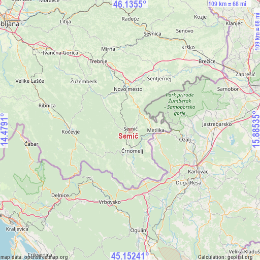
Semič GPS coordinates[2]
45° 38' 45.996" North, 15° 10' 55.992" East
| Map corner | latitude | longitude |
|---|---|---|
| Upper-left | 46.1355°, | 14.4791° |
| Center: | 45.64611°, | 15.18222° |
| Lower-right: | 45.15241°, | 15.88535° |
| Map W x H: | 109.3×109.3 km | = 67.9×67.9mi |
| max Lat: | 46.83694° ⇑92.7% North |
| Semič: | 45.64611° |
| min Lat: | ⇓7.3% South 45.47667° |
| min Long | Semič | max Long |
| 13.52639° | 15.18222° | 16.4975° |
| W 59.5%⇐ | ⇒40.5% E |
Elevation
Elevation of Semič is 214 m = 702 ft, and this is 111.6 m = 366 ft below average elevation for this country.
| Max E: |
1551 m = 5089 ft | 77.7% |
| Avg. | 325.6 m = 1068 ft | |
| Semič | 214 m = 702 ft | |
Min E: |
2 m = 7 ft | 22.3% |
See also: Slovenia elevation on elevation.city.
Geographical zone
Semič is located in North temperate zone (between Tropic of Cancer and the Arctic Circle). Distance of this North polar circle is 2325.8 km =1445.2 mi to North.| Distance of | km | miles | from Semič |
|---|---|---|---|
| North Pole | 4931.7 | 3064.4 | to North |
| Arctic Circle | 2325.8 | 1445.2 | to North |
| Tropic Cancer | 2469.5 | 1534.5 | to South |
| Equator | 5075.4 | 3153.7 | to South |


Nearby cities:
15 places around Semič: (largest is in red/bold)
• Dolenjske Toplice
15.6 km =9.7 mi,  322°
322°
• Dolga Vas
23.4 km =14.5 mi,  262°
262°
• Gabrje
16.8 km =10.4 mi,  25°
25°
• Kanižarica
10.8 km =6.7 mi,  186°
186°
• Lokve
5 km =3.1 mi, 187°
• Metlika
10.3 km =6.4 mi,  89°
89°
• Novo Mesto
17.6 km =10.9 mi,  356°
356°
• Otočec
21.8 km =13.5 mi,  8°
8°
• Straža
17.1 km =10.6 mi,  330°
330°
• Uršna Sela
9.2 km =5.7 mi, 331°
• Velike Brusnice
18.5 km =11.5 mi,  18°
18°
• Črnomelj
8.4 km =5.2 mi,  176°
176°
• Šalka Vas
23.3 km =14.5 mi,  271°
271°
• Šmarješke Toplice
24.2 km =15 mi, 7°
• Željne
23 km =14.3 mi, 273°
Sources, notices
• [Note1] Compared only with cities in Slovenia existing in our database
• [Src1] Map data: © OpenStreetMap contributors (CC-BY-SA)
• [Src2] Other city data from geonames.org with taken over terms of usage.
• [Src3] Geographical zone / Annual Mean Temperature by Robert A. Rohde @ Wikipedia
