Pobrežje geodata
Pobrežje (Videm) is a populated place; located in Slovenia in Europe/Ljubljana (GMT+2) time zone. With population of 907 people, there are 246 cities with bigger population in this country. Compared to other cities in Slovenia, 64.5% of cities are located further ↓South; 85.7% of cities are located further ←West and 76% of cities have higher elevation than Pobrežje. Note1


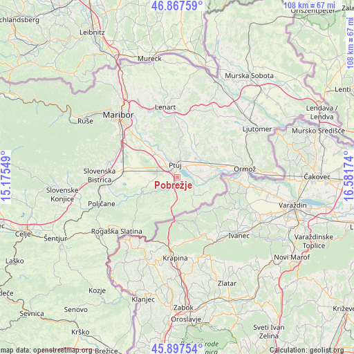
Pobrežje GPS coordinates[2]
46° 23' 4.992" North, 15° 52' 42.996" East
| Map corner | latitude | longitude |
|---|---|---|
| Upper-left | 46.86759°, | 15.17549° |
| Center: | 46.38472°, | 15.87861° |
| Lower-right: | 45.89754°, | 16.58174° |
| Map W x H: | 107.9×107.9 km | = 67×67mi |
| max Lat: | 46.83694° ⇑35.5% North |
| Pobrežje: | 46.38472° |
| min Lat: | ⇓64.5% South 45.47667° |
| min Long | Pobrežje | max Long |
| 13.52639° | 15.87861° | 16.4975° |
| W 85.7%⇐ | ⇒14.3% E |
Elevation
Elevation of Pobrežje is 221 m = 725 ft, and this is 104.6 m = 343 ft below average elevation for this country.
| Max E: |
1551 m = 5089 ft | 76% |
| Avg. | 325.6 m = 1068 ft | |
| Pobrežje | 221 m = 725 ft | |
Min E: |
2 m = 7 ft | 24% |
See also: Slovenia elevation on elevation.city.
Geographical zone
Pobrežje is located in North temperate zone (between Tropic of Cancer and the Arctic Circle). Distance of this North polar circle is 2243.7 km =1394.2 mi to North.| Distance of | km | miles | from Pobrežje |
|---|---|---|---|
| North Pole | 4849.6 | 3013.4 | to North |
| Arctic Circle | 2243.7 | 1394.2 | to North |
| Tropic Cancer | 2551.6 | 1585.5 | to South |
| Equator | 5157.5 | 3204.7 | to South |


Nearby cities:
15 places around Pobrežje: (largest is in red/bold)
• Apače
5.9 km =3.7 mi,  261°
261°
• Bukovci
6.6 km =4.1 mi,  87°
87°
• Draženci
2.2 km =1.4 mi,  265°
265°
• Hajdoše
6.7 km =4.2 mi,  323°
323°
• Lancova Vas
2.3 km =1.4 mi,  228°
228°
• Markovci
4 km =2.5 mi,  72°
72°
• Mestni Vrh
6.6 km =4.1 mi,  351°
351°
• Njiverce
5.9 km =3.7 mi,  290°
290°
• Podlehnik
5.5 km =3.4 mi,  178°
178°
• Podvinci
6.1 km =3.8 mi,  28°
28°
• Ptuj
4 km =2.5 mi, 350°
• Spodnja Hajdina
3.6 km =2.2 mi, 317°
• Spuhlja
4.2 km =2.6 mi,  42°
42°
• Videm pri Ptuju
2.8 km =1.7 mi,  130°
130°
• Zgornja Hajdina
3.9 km =2.4 mi,  307°
307°
Sources, notices
• [Note1] Compared only with cities in Slovenia existing in our database
• [Src1] Map data: © OpenStreetMap contributors (CC-BY-SA)
• [Src2] Other city data from geonames.org with taken over terms of usage.
• [Src3] Geographical zone / Annual Mean Temperature by Robert A. Rohde @ Wikipedia
