Krmelj geodata
Krmelj (Sevnica) is a populated place; located in Slovenia in Europe/Ljubljana (GMT+2) time zone. With population of 708 people, there are 352 cities with bigger population in this country. Compared to other cities in Slovenia, 74.5% of cities are located further ↑North; 60.5% of cities are located further ←West and 55.7% of cities have higher elevation than Krmelj. Note1


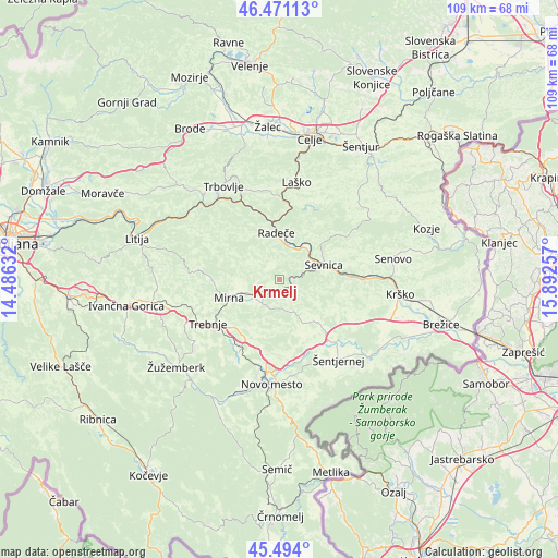
Krmelj GPS coordinates[2]
45° 59' 4.992" North, 15° 11' 21.984" East
| Map corner | latitude | longitude |
|---|---|---|
| Upper-left | 46.47113°, | 14.48632° |
| Center: | 45.98472°, | 15.18944° |
| Lower-right: | 45.494°, | 15.89257° |
| Map W x H: | 108.6×108.6 km | = 67.5×67.5mi |
| max Lat: | 46.83694° ⇑74.5% North |
| Krmelj: | 45.98472° |
| min Lat: | ⇓25.5% South 45.47667° |
| min Long | Krmelj | max Long |
| 13.52639° | 15.18944° | 16.4975° |
| W 60.5%⇐ | ⇒39.5% E |
Elevation
Elevation of Krmelj is 283 m = 928 ft, and this is 42.6 m = 140 ft below average elevation for this country.
| Max E: |
1551 m = 5089 ft | 55.7% |
| Avg. | 325.6 m = 1068 ft | |
| Krmelj | 283 m = 928 ft | |
Min E: |
2 m = 7 ft | 44.3% |
See also: Slovenia elevation on elevation.city.
Geographical zone
Krmelj is located in North temperate zone (between Tropic of Cancer and the Arctic Circle). Distance of this North polar circle is 2288.2 km =1421.8 mi to North.| Distance of | km | miles | from Krmelj |
|---|---|---|---|
| North Pole | 4894 | 3041 | to North |
| Arctic Circle | 2288.2 | 1421.8 | to North |
| Tropic Cancer | 2507.1 | 1557.8 | to South |
| Equator | 5113 | 3177.1 | to South |


Nearby cities:
15 places around Krmelj: (largest is in red/bold)
• Dol pri Hrastniku
18.5 km =11.5 mi,  341°
341°
• Dolenji Boštanj
8.3 km =5.2 mi,  70°
70°
• Mirna
10.4 km =6.5 mi,  251°
251°
• Mirna Peč
16.1 km =10 mi,  210°
210°
• Mokronog
6.8 km =4.2 mi, 213°
• Otočec
16.4 km =10.2 mi,  170°
170°
• Radeče
9.3 km =5.8 mi,  357°
357°
• Rimske Toplice
15.3 km =9.5 mi,  0°
0°
• Sevnica
10.1 km =6.3 mi,  75°
75°
• Slovenska Vas
8.2 km =5.1 mi, 246°
• Trebnje
15.8 km =9.8 mi,  235°
235°
• Šentrupert
7.3 km =4.5 mi,  263°
263°
• Škocjan
11.7 km =7.3 mi,  137°
137°
• Šmarjeta
12.2 km =7.6 mi,  157°
157°
• Šmarješke Toplice
13.8 km =8.6 mi, 169°
Sources, notices
• [Note1] Compared only with cities in Slovenia existing in our database
• [Src1] Map data: © OpenStreetMap contributors (CC-BY-SA)
• [Src2] Other city data from geonames.org with taken over terms of usage.
• [Src3] Geographical zone / Annual Mean Temperature by Robert A. Rohde @ Wikipedia
