Nižná geodata
Nižná (Žilinský kraj) is a populated place; located in Slovakia in Europe/Bratislava (GMT+2) time zone. With population of 4,020 people, there are 123 cities with bigger population in this country. Compared to other cities in Slovakia, 95.9% of cities are located further ↓South; 61.2% of cities are located further ←West and 82.4% of cities have lower elevation than Nižná. Note1


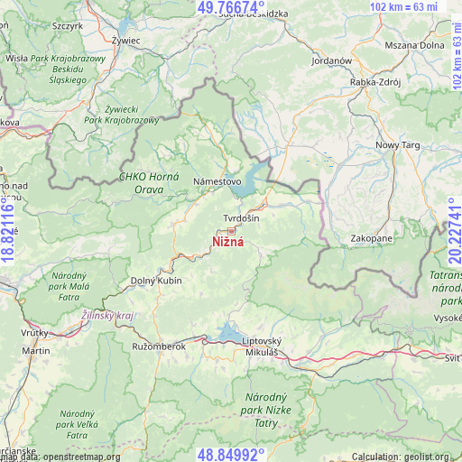
Nižná GPS coordinates[2]
49° 18' 37.656" North, 19° 31' 27.408" East
| Map corner | latitude | longitude |
|---|---|---|
| Upper-left | 49.76674°, | 18.82116° |
| Center: | 49.31046°, | 19.52428° |
| Lower-right: | 48.84992°, | 20.22741° |
| Map W x H: | 101.9×101.9 km | = 63.3×63.3mi |
| max Lat: | 49.43503° ⇑4.1% North |
| Nižná: | 49.31046° |
| min Lat: | ⇓95.9% South 47.76356° |
| min Long | Nižná | max Long |
| 16.9786° | 19.52428° | 22.18136° |
| W 61.2%⇐ | ⇒38.8% E |
Elevation
Elevation of Nižná is 559 m = 1834 ft, and this is 222.9 m = 731 ft above average elevation for this country.
| Max E: |
1006 m = 3301 ft | 17.6% |
| Nižná | 559 m 1834 ft | |
| Avg. | 336.1 m = 1103 ft | |
Min E: |
102 m = 335 ft | 82.4% |
See also: Slovakia elevation on elevation.city.
Geographical zone
Nižná is located in North temperate zone (between Tropic of Cancer and the Arctic Circle). Distance of this North polar circle is 1918.4 km =1192 mi to North.| Distance of | km | miles | from Nižná |
|---|---|---|---|
| North Pole | 4524.3 | 2811.3 | to North |
| Arctic Circle | 1918.4 | 1192 | to North |
| Tropic Cancer | 2876.9 | 1787.6 | to South |
| Equator | 5482.8 | 3406.9 | to South |


Nearby cities:
15 places around Nižná: (largest is in red/bold)
• Bešeňová
24.3 km =15.1 mi,  195°
195°
• Dolný Kubín
19.5 km =12.1 mi,  235°
235°
• Krušetnica
15.2 km =9.4 mi,  298°
298°
• Liptovská Sielnica
18.6 km =11.6 mi,  182°
182°
• Liptovský Mikuláš
26.5 km =16.5 mi,  164°
164°
• Liptovský Trnovec
21.2 km =13.2 mi, 175°
• Lúčky
22 km =13.7 mi, 203°
• Námestovo
11.3 km =7 mi,  343°
343°
• Oravská Lesná
25.7 km =16 mi,  284°
284°
• Oravský Podzámok
13.4 km =8.3 mi, 244°
• Pribylina
30.6 km =19 mi,  140°
140°
• Párnica
27 km =16.8 mi, 241°
• Svätý Kríž
29 km =18 mi, 178°
• Trstená
8.5 km =5.3 mi,  48°
48°
• Tvrdošín
3.7 km =2.3 mi,  37°
37°
Sources, notices
• [Note1] Compared only with cities in Slovakia existing in our database
• [Src1] Map data: © OpenStreetMap contributors (CC-BY-SA)
• [Src2] Other city data from geonames.org with taken over terms of usage.
• [Src3] Geographical zone / Annual Mean Temperature by Robert A. Rohde @ Wikipedia
