Ždiar geodata
Ždiar (Prešovský kraj) is a populated place; located in Slovakia in Europe/Bratislava (GMT+2) time zone. With population of 1,330 people, there are 146 cities with bigger population in this country. Compared to other cities in Slovakia, 91.8% of cities are located further ↓South; 74.7% of cities are located further ←West and 98.8% of cities have lower elevation than Ždiar. Note1


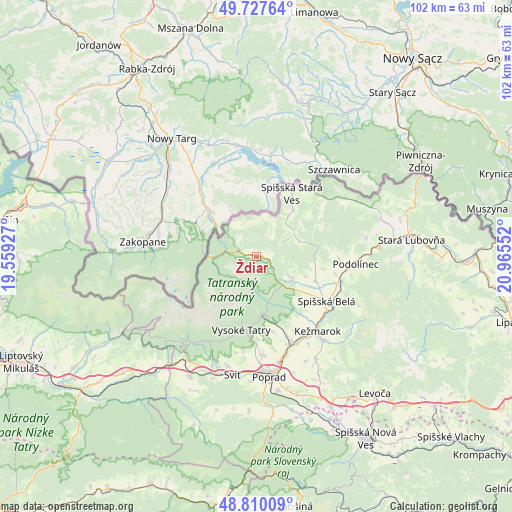
Ždiar GPS coordinates[2]
49° 16' 15.6" North, 20° 15' 44.604" East
| Map corner | latitude | longitude |
|---|---|---|
| Upper-left | 49.72764°, | 19.55927° |
| Center: | 49.271°, | 20.26239° |
| Lower-right: | 48.81009°, | 20.96552° |
| Map W x H: | 102×102 km | = 63.4×63.4mi |
| max Lat: | 49.43503° ⇑8.2% North |
| Ždiar: | 49.271° |
| min Lat: | ⇓91.8% South 47.76356° |
| min Long | Ždiar | max Long |
| 16.9786° | 20.26239° | 22.18136° |
| W 74.7%⇐ | ⇒25.3% E |
Elevation
Elevation of Ždiar is 887 m = 2910 ft, and this is 550.9 m = 1807 ft above average elevation for this country.
| Max E: |
1006 m = 3301 ft | 1.2% |
| Ždiar | 887 m 2910 ft | |
| Avg. | 336.1 m = 1103 ft | |
Min E: |
102 m = 335 ft | 98.8% |
See also: Slovakia elevation on elevation.city.
Geographical zone
Ždiar is located in North temperate zone (between Tropic of Cancer and the Arctic Circle). Distance of this North polar circle is 1922.8 km =1194.8 mi to North.| Distance of | km | miles | from Ždiar |
|---|---|---|---|
| North Pole | 4528.6 | 2813.9 | to North |
| Arctic Circle | 1922.8 | 1194.8 | to North |
| Tropic Cancer | 2872.5 | 1784.9 | to South |
| Equator | 5478.4 | 3404.1 | to South |


Nearby cities:
15 places around Ždiar: (largest is in red/bold)
• Kežmarok
19.5 km =12.1 mi,  140°
140°
• Levoča
36.7 km =22.8 mi, 139°
• Nová Lesná
16.5 km =10.3 mi,  178°
178°
• Podolínec
19.9 km =12.4 mi,  93°
93°
• Poprad
23.4 km =14.5 mi,  173°
173°
• Spišská Belá
17.1 km =10.6 mi,  123°
123°
• Stará Ľubovňa
30.9 km =19.2 mi,  84°
84°
• Starý Smokovec
15 km =9.3 mi,  191°
191°
• Svit
23.8 km =14.8 mi, 189°
• Tatranská Lomnica
11.7 km =7.3 mi, 173°
• Vrbov
23.6 km =14.7 mi,  149°
149°
• Vysoké Tatry
15 km =9.3 mi, 185°
• Vyšné Ružbachy
22.3 km =13.9 mi, 80°
• Ľubica
21.9 km =13.6 mi, 141°
• Štrba
27 km =16.8 mi,  209°
209°
Sources, notices
• [Note1] Compared only with cities in Slovakia existing in our database
• [Src1] Map data: © OpenStreetMap contributors (CC-BY-SA)
• [Src2] Other city data from geonames.org with taken over terms of usage.
• [Src3] Geographical zone / Annual Mean Temperature by Robert A. Rohde @ Wikipedia
