Nieuw Nickerie geodata
Nieuw Nickerie (Nickerie) is a seat of a first-order administrative division; located in Suriname in America/Paramaribo (GMT-3) time zone. With population of 13,143 people, there are 3 cities with bigger population in this country. Compared to other cities in Suriname, 100% of cities are located further ↓South; 100% of cities are located further →East and 84.6% of cities have higher elevation than Nieuw Nickerie. Note1


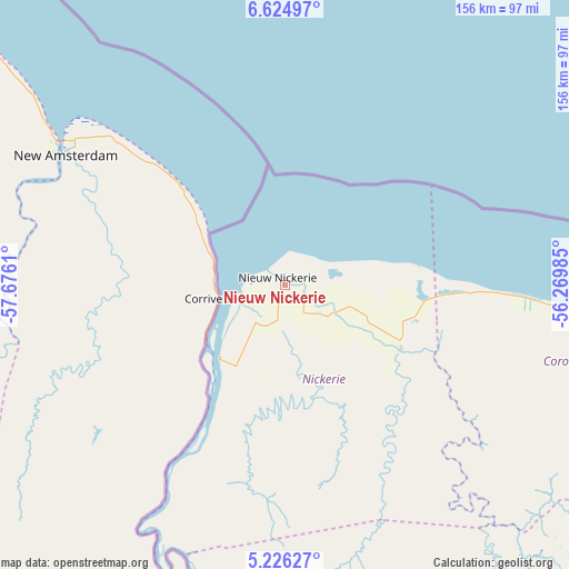
Nieuw Nickerie GPS coordinates[2]
5° 55' 33.816" North, 56° 58' 22.692" West
| Map corner | latitude | longitude |
|---|---|---|
| Upper-left | 6.62497°, | -57.6761° |
| Center: | 5.92606°, | -56.97297° |
| Lower-right: | 5.22627°, | -56.26985° |
| Map W x H: | 155.5×155.5 km | = 96.6×96.6mi |
| max Lat: | 5.92606° ⇑0% North |
| Nieuw Nickerie: | 5.92606° |
| min Lat: | ⇓100% South 3.67207° |
| min Long | Nieuw Nickerie | max Long |
| -56.97297° | -56.97297° | -54.05522° |
| W 0%⇐ | ⇒100% E |
Elevation
Elevation of Nieuw Nickerie is 2 m = 7 ft, and this is 16.9 m = 55 ft below average elevation for this country.
| Max E: |
99 m = 325 ft | 84.6% |
| Avg. | 18.9 m = 62 ft | |
| Nieuw Nickerie | 2 m = 7 ft | |
Min E: |
1 m = 3 ft | 15.4% |
See also: Suriname elevation on elevation.city.
Geographical zone
Nieuw Nickerie is located in North Torrid zone (between Equator and Tropic of Cancer). Distance of Equator is 658.9 km =409.4 mi to South.| Distance of | km | miles | from Nieuw Nickerie |
|---|---|---|---|
| North Pole | 9348.1 | 5808.6 | to North |
| Arctic Circle | 6742.3 | 4189.5 | to North |
| Tropic Cancer | 1947 | 1209.8 | to North |
| Equator | 658.9 | 409.4 | to South |


Nearby cities:
13 places around Nieuw Nickerie: (largest is in red/bold)
• Albina
326.3 km =202.8 mi,  98°
98°
• Benzdorp (Monte Hermon)
404.8 km =251.5 mi,  128°
128°
• Brokopondo
240.8 km =149.6 mi,  113°
113°
• Brownsweg
226 km =140.4 mi,  116°
116°
• Groningen
167.2 km =103.9 mi,  94°
94°
• Lelydorp
194.1 km =120.6 mi, 97°
• Mariënburg
213.5 km =132.7 mi, 91°
• Moengo
286.6 km =178.1 mi, 96°
• Nieuw Amsterdam
208.4 km =129.5 mi, 91°
• Onverwacht
200.3 km =124.5 mi, 100°
• Paramaribo
199.9 km =124.2 mi, 91°
• Totness
71.8 km =44.6 mi, 94°
• Wageningen
38.7 km =24 mi, 118°
Sources, notices
• [Note1] Compared only with cities in Suriname existing in our database
• [Src1] Map data: © OpenStreetMap contributors (CC-BY-SA)
• [Src2] Other city data from geonames.org with taken over terms of usage.
• [Src3] Geographical zone / Annual Mean Temperature by Robert A. Rohde @ Wikipedia
