Lat Krabang geodata
Lat Krabang (Bangkok) is a seat of a second-order administrative division; located in Thailand in Asia/Bangkok (GMT+7) time zone. In our database, there are 331 cities with bigger population. Compared to other cities in Thailand, 71% of cities are located further ↑North; 50.3% of cities are located further ←West and 96.7% of cities have higher elevation than Lat Krabang. Note1


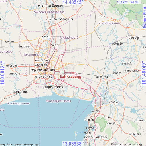
Lat Krabang GPS coordinates[2]
13° 43' 24.276" North, 100° 47' 3.696" East
| Map corner | latitude | longitude |
|---|---|---|
| Upper-left | 14.40545°, | 100.08124° |
| Center: | 13.72341°, | 100.78436° |
| Lower-right: | 13.03938°, | 101.48749° |
| Map W x H: | 151.9×151.9 km | = 94.4×94.4mi |
| max Lat: | 20.43353° ⇑71% North |
| Lat Krabang: | 13.72341° |
| min Lat: | ⇓29% South 5.77434° |
| min Long | Lat Krabang | max Long |
| 97.93288° | 100.78436° | 105.49506° |
| W 50.3%⇐ | ⇒49.7% E |
Elevation
Elevation of Lat Krabang is 6 m = 20 ft, and this is 119.5 m = 392 ft below average elevation for this country.
| Max E: |
1011 m = 3317 ft | 96.7% |
| Avg. | 125.5 m = 412 ft | |
| Lat Krabang | 6 m = 20 ft | |
Min E: |
1 m = 3 ft | 3.3% |
See also: Thailand elevation on elevation.city.
Geographical zone
Lat Krabang is located in North Torrid zone (between Equator and Tropic of Cancer). Distance of this Northern Tropic circle is 1080 km =671.1 mi to North.| Distance of | km | miles | from Lat Krabang |
|---|---|---|---|
| North Pole | 8481.2 | 5270 | to North |
| Arctic Circle | 5875.3 | 3650.7 | to North |
| Tropic Cancer | 1080 | 671.1 | to North |
| Equator | 1525.9 | 948.2 | to South |


Nearby cities:
15 places around Lat Krabang: (largest is in red/bold)
• Ban Khlong Bang Sao Thong
10.5 km =6.5 mi,  150°
150°
• Bang Bo
17.5 km =10.9 mi,  161°
161°
• Bang Bo District
16 km =9.9 mi,  167°
167°
• Bang Kapi
15.5 km =9.6 mi,  287°
287°
• Bang Na
16.6 km =10.3 mi,  247°
247°
• Bang Sao Thong
15.1 km =9.4 mi, 160°
• Bueng Kum
14.2 km =8.8 mi,  299°
299°
• Khan Na Yao
16.1 km =10 mi,  315°
315°
• Khlong Sam Wa
13.6 km =8.5 mi,  337°
337°
• Min Buri
11.6 km =7.2 mi,  330°
330°
• Nong Chok
17 km =10.6 mi,  29°
29°
• Phra Khanong
19.9 km =12.4 mi,  263°
263°
• Saphan Sung
11.9 km =7.4 mi, 295°
• Suan Luang
14.4 km =8.9 mi,  273°
273°
• Wang Thonglang
19.9 km =12.4 mi, 290°
Sources, notices
• [Note1] Compared only with cities in Thailand existing in our database
• [Src1] Map data: © OpenStreetMap contributors (CC-BY-SA)
• [Src2] Other city data from geonames.org with taken over terms of usage.
• [Src3] Geographical zone / Annual Mean Temperature by Robert A. Rohde @ Wikipedia
