Son geodata
Son (Satun) is a populated place; located in Thailand in Asia/Bangkok (GMT+7) time zone. With population of 947 people, there are 325 cities with bigger population in this country. Compared to other cities in Thailand, 97.1% of cities are located further ↑North; 82.9% of cities are located further →East and 88.1% of cities have higher elevation than Son. Note1


Son GPS coordinates[2]
6° 37' 36.3" North, 99° 36' 59.616" East
| Map corner | latitude | longitude |
|---|---|---|
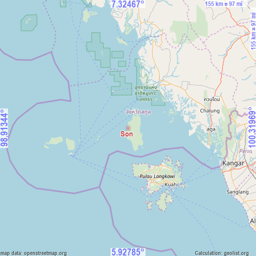
| Upper-left | 7.32467°, | 98.91344° |
| Center: | 6.62675°, | 99.61656° |
| Lower-right: | 5.92785°, | 100.31969° |
| Map W x H: | 155.3×155.3 km | = 96.5×96.5mi |
| max Lat: | 20.43353° ⇑97.1% North |
| Son: | 6.62675° |
| min Lat: | ⇓2.9% South 5.77434° |
| min Long | Son | max Long |
| 97.93288° | 99.61656° | 105.49506° |
| W 17.1%⇐ | ⇒82.9% E |
Elevation
Elevation of Son is 9 m = 30 ft, and this is 116.5 m = 382 ft below average elevation for this country.
| Max E: |
1011 m = 3317 ft | 88.1% |
| Avg. | 125.5 m = 412 ft | |
| Son | 9 m = 30 ft | |
Min E: |
1 m = 3 ft | 11.9% |
See also: Thailand elevation on elevation.city.
Geographical zone
Son is located in North Torrid zone (between Equator and Tropic of Cancer). Distance of Equator is 736.8 km =457.8 mi to South.| Distance of | km | miles | from Son |
|---|---|---|---|
| North Pole | 9270.2 | 5760.2 | to North |
| Arctic Circle | 6664.3 | 4141 | to North |
| Tropic Cancer | 1869.1 | 1161.4 | to North |
| Equator | 736.8 | 457.8 | to South |


Nearby cities:
15 places around Son: (largest is in red/bold)
• Ban Ao Makham
6.6 km =4.1 mi,  171°
171°
• Hat Samran
68.4 km =42.5 mi,  356°
356°
• Kantang
87.3 km =54.2 mi,  352°
352°
• Khuan Don
54 km =33.6 mi,  70°
70°
• Khuan Kalong
55.8 km =34.7 mi,  64°
64°
• La-ngu
34.4 km =21.4 mi,  33°
33°
• Manang
53.4 km =33.2 mi,  39°
39°
• Palian
61.2 km =38 mi,  7°
7°
• Pante Malakar
7.1 km =4.4 mi,  24°
24°
• Sadao
89.1 km =55.4 mi,  89°
89°
• Satun
49.7 km =30.9 mi, 90°
• Ta Lo Wow
10 km =6.2 mi, 32°
• Tha Phae
43.1 km =26.8 mi, 65°
• Thung Wa
55.8 km =34.7 mi, 15°
• Yan Ta Khao
84.6 km =52.6 mi,  3°
3°
Sources, notices
• [Note1] Compared only with cities in Thailand existing in our database
• [Src1] Map data: © OpenStreetMap contributors (CC-BY-SA)
• [Src2] Other city data from geonames.org with taken over terms of usage.
• [Src3] Geographical zone / Annual Mean Temperature by Robert A. Rohde @ Wikipedia
