Khaen Dong geodata
Khaen Dong (Buriram) is a seat of a second-order administrative division; located in Thailand in Asia/Bangkok (GMT+7) time zone. In our database, there are 331 cities with bigger population. Compared to other cities in Thailand, 55.5% of cities are located further ↓South; 80.8% of cities are located further ←West and 56.9% of cities have lower elevation than Khaen Dong. Note1


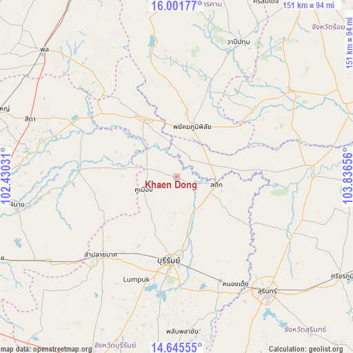
Khaen Dong GPS coordinates[2]
15° 19' 29.136" North, 103° 8' 0.348" East
| Map corner | latitude | longitude |
|---|---|---|
| Upper-left | 16.00177°, | 102.43031° |
| Center: | 15.32476°, | 103.13343° |
| Lower-right: | 14.64555°, | 103.83656° |
| Map W x H: | 150.8×150.8 km | = 93.7×93.7mi |
| max Lat: | 20.43353° ⇑44.5% North |
| Khaen Dong: | 15.32476° |
| min Lat: | ⇓55.5% South 5.77434° |
| min Long | Khaen Dong | max Long |
| 97.93288° | 103.13343° | 105.49506° |
| W 80.8%⇐ | ⇒19.2% E |
Elevation
Elevation of Khaen Dong is 141 m = 463 ft, and this is 15.5 m = 51 ft above average elevation for this country.
| Max E: |
1011 m = 3317 ft | 43.1% |
| Khaen Dong | 141 m 463 ft | |
| Avg. | 125.5 m = 412 ft | |
Min E: |
1 m = 3 ft | 56.9% |
See also: Thailand elevation on elevation.city.
Geographical zone
Khaen Dong is located in North Torrid zone (between Equator and Tropic of Cancer). Distance of this Northern Tropic circle is 902 km =560.5 mi to North.| Distance of | km | miles | from Khaen Dong |
|---|---|---|---|
| North Pole | 8303.1 | 5159.3 | to North |
| Arctic Circle | 5697.2 | 3540.1 | to North |
| Tropic Cancer | 902 | 560.5 | to North |
| Equator | 1704 | 1058.8 | to South |


Nearby cities:
15 places around Khaen Dong: (largest is in red/bold)
• Ban Dan
24.5 km =15.2 mi,  169°
169°
• Ban Mai Chaiyaphot
42.4 km =26.3 mi,  310°
310°
• Buri Ram
36.9 km =22.9 mi,  184°
184°
• Chum Phuang
42.1 km =26.2 mi,  273°
273°
• Chumphon Buri
27.9 km =17.3 mi,  84°
84°
• Huai Rat
41 km =25.5 mi, 171°
• Khu Mueang
15.3 km =9.5 mi,  247°
247°
• Lam Thamen Chai
23.3 km =14.5 mi,  277°
277°
• Mueang Yang
27.9 km =17.3 mi,  292°
292°
• Na Pho
40.1 km =24.9 mi,  331°
331°
• Pathum Rat
41.1 km =25.5 mi,  33°
33°
• Phayakkhaphum Phisai
22.3 km =13.9 mi,  16°
16°
• Phutthaisong
27.4 km =17 mi, 334°
• Satuek
17.3 km =10.7 mi,  100°
100°
• Yang Si Surat
40 km =24.9 mi,  355°
355°
Sources, notices
• [Note1] Compared only with cities in Thailand existing in our database
• [Src1] Map data: © OpenStreetMap contributors (CC-BY-SA)
• [Src2] Other city data from geonames.org with taken over terms of usage.
• [Src3] Geographical zone / Annual Mean Temperature by Robert A. Rohde @ Wikipedia
