Mae Chaem geodata
Mae Chaem (Chiang Mai) is a seat of a second-order administrative division; located in Thailand in Asia/Bangkok (GMT+7) time zone. In our database, there are 331 cities with bigger population. Compared to other cities in Thailand, 92.7% of cities are located further ↓South; 97.6% of cities are located further →East and 97.7% of cities have lower elevation than Mae Chaem. Note1


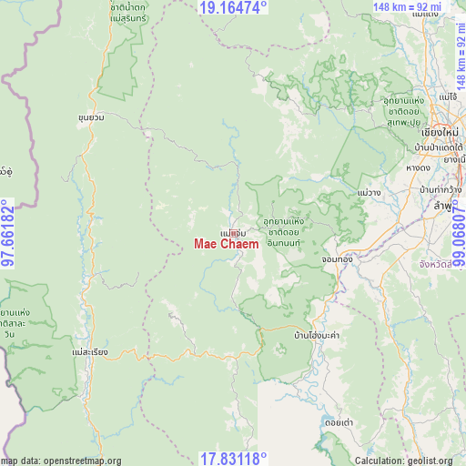
Mae Chaem GPS coordinates[2]
18° 29' 57.336" North, 98° 21' 53.784" East
| Map corner | latitude | longitude |
|---|---|---|
| Upper-left | 19.16474°, | 97.66182° |
| Center: | 18.49926°, | 98.36494° |
| Lower-right: | 17.83118°, | 99.06807° |
| Map W x H: | 148.3×148.3 km | = 92.1×92.1mi |
| max Lat: | 20.43353° ⇑7.3% North |
| Mae Chaem: | 18.49926° |
| min Lat: | ⇓92.7% South 5.77434° |
| min Long | Mae Chaem | max Long |
| 97.93288° | 98.36494° | 105.49506° |
| W 2.4%⇐ | ⇒97.6% E |
Elevation
Elevation of Mae Chaem is 477 m = 1565 ft, and this is 351.5 m = 1153 ft above average elevation for this country.
| Max E: |
1011 m = 3317 ft | 2.3% |
| Mae Chaem | 477 m 1565 ft | |
| Avg. | 125.5 m = 412 ft | |
Min E: |
1 m = 3 ft | 97.7% |
See also: Thailand elevation on elevation.city.
Geographical zone
Mae Chaem is located in North Torrid zone (between Equator and Tropic of Cancer). Distance of this Northern Tropic circle is 549 km =341.1 mi to North.| Distance of | km | miles | from Mae Chaem |
|---|---|---|---|
| North Pole | 7950.1 | 4940 | to North |
| Arctic Circle | 5344.2 | 3320.7 | to North |
| Tropic Cancer | 549 | 341.1 | to North |
| Equator | 2056.9 | 1278.1 | to South |


Nearby cities:
15 places around Mae Chaem: (largest is in red/bold)
• Ban Hong
51.5 km =32 mi,  111°
111°
• Ban Huai I Huak
58.3 km =36.2 mi,  216°
216°
• Ban Pa Pae
40.4 km =25.1 mi,  233°
233°
• Chaem Luang
59.8 km =37.2 mi,  352°
352°
• Chom Thong
33.9 km =21.1 mi, 105°
• Doi Lo
43.7 km =27.2 mi,  95°
95°
• Hang Dong
62 km =38.5 mi,  70°
70°
• Hot
42.8 km =26.6 mi,  142°
142°
• Khun Yuam
58.4 km =36.3 mi,  308°
308°
• Mae La Noi
46.3 km =28.8 mi,  253°
253°
• Mae Wang
44.9 km =27.9 mi, 73°
• Pa Sang
60.6 km =37.7 mi,  87°
87°
• Samoeng
54.8 km =34.1 mi,  44°
44°
• San Pa Tong
57.8 km =35.9 mi,  75°
75°
• Wiang Nong Long
41.5 km =25.8 mi, 102°
Sources, notices
• [Note1] Compared only with cities in Thailand existing in our database
• [Src1] Map data: © OpenStreetMap contributors (CC-BY-SA)
• [Src2] Other city data from geonames.org with taken over terms of usage.
• [Src3] Geographical zone / Annual Mean Temperature by Robert A. Rohde @ Wikipedia
