Lamae geodata
Lamae (Chumphon) is a seat of a second-order administrative division; located in Thailand in Asia/Bangkok (GMT+7) time zone. In our database, there are 331 cities with bigger population. Compared to other cities in Thailand, 83.3% of cities are located further ↑North; 90.7% of cities are located further →East and 68.1% of cities have higher elevation than Lamae. Note1


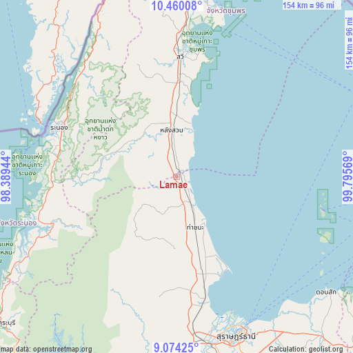
Lamae GPS coordinates[2]
9° 46' 4.404" North, 99° 5' 33.216" East
| Map corner | latitude | longitude |
|---|---|---|
| Upper-left | 10.46008°, | 98.38944° |
| Center: | 9.76789°, | 99.09256° |
| Lower-right: | 9.07425°, | 99.79569° |
| Map W x H: | 154.1×154.1 km | = 95.8×95.8mi |
| max Lat: | 20.43353° ⇑83.3% North |
| Lamae: | 9.76789° |
| min Lat: | ⇓16.7% South 5.77434° |
| min Long | Lamae | max Long |
| 97.93288° | 99.09256° | 105.49506° |
| W 9.3%⇐ | ⇒90.7% E |
Elevation
Elevation of Lamae is 26 m = 85 ft, and this is 99.5 m = 326 ft below average elevation for this country.
| Max E: |
1011 m = 3317 ft | 68.1% |
| Avg. | 125.5 m = 412 ft | |
| Lamae | 26 m = 85 ft | |
Min E: |
1 m = 3 ft | 31.9% |
See also: Thailand elevation on elevation.city.
Geographical zone
Lamae is located in North Torrid zone (between Equator and Tropic of Cancer). Distance of Equator is 1086.1 km =674.9 mi to South.| Distance of | km | miles | from Lamae |
|---|---|---|---|
| North Pole | 8921 | 5543.3 | to North |
| Arctic Circle | 6315.1 | 3924 | to North |
| Tropic Cancer | 1519.8 | 944.4 | to North |
| Equator | 1086.1 | 674.9 | to South |


Nearby cities:
15 places around Lamae: (largest is in red/bold)
• Ban Nam Yuen
27.6 km =17.1 mi,  296°
296°
• Chaiya
44 km =27.3 mi,  164°
164°
• Kanchanadit
78.7 km =48.9 mi,  148°
148°
• Kapoe
58.1 km =36.1 mi,  249°
249°
• La-Un
53.9 km =33.5 mi,  315°
315°
• Lang Suan
19.8 km =12.3 mi,  355°
355°
• Phato
34.7 km =21.6 mi,  274°
274°
• Ranong
54.8 km =34.1 mi,  293°
293°
• Sawi
52.2 km =32.4 mi,  2°
2°
• Surat Thani
74.6 km =46.4 mi, 159°
• Takuk Nuea
60.1 km =37.3 mi,  191°
191°
• Tha Chana
23.2 km =14.4 mi, 159°
• Tha Chang
57.1 km =35.5 mi,  168°
168°
• Tha Kham
74.7 km =46.4 mi, 168°
• Thung Tako
38.1 km =23.7 mi, 358°
Sources, notices
• [Note1] Compared only with cities in Thailand existing in our database
• [Src1] Map data: © OpenStreetMap contributors (CC-BY-SA)
• [Src2] Other city data from geonames.org with taken over terms of usage.
• [Src3] Geographical zone / Annual Mean Temperature by Robert A. Rohde @ Wikipedia
