Bang Khan geodata
Bang Khan (Nakhon Si Thammarat) is a seat of a second-order administrative division; located in Thailand in Asia/Bangkok (GMT+7) time zone. In our database, there are 331 cities with bigger population. Compared to other cities in Thailand, 89.5% of cities are located further ↑North; 85.8% of cities are located further →East and 53.3% of cities have higher elevation than Bang Khan. Note1


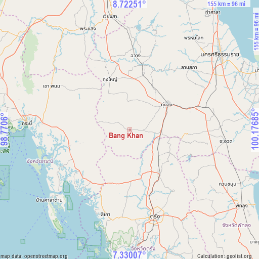
Bang Khan GPS coordinates[2]
8° 1' 36.804" North, 99° 28' 25.392" East
| Map corner | latitude | longitude |
|---|---|---|
| Upper-left | 8.72251°, | 98.7706° |
| Center: | 8.02689°, | 99.47372° |
| Lower-right: | 7.33007°, | 100.17685° |
| Map W x H: | 154.8×154.8 km | = 96.2×96.2mi |
| max Lat: | 20.43353° ⇑89.5% North |
| Bang Khan: | 8.02689° |
| min Lat: | ⇓10.5% South 5.77434° |
| min Long | Bang Khan | max Long |
| 97.93288° | 99.47372° | 105.49506° |
| W 14.2%⇐ | ⇒85.8% E |
Elevation
Elevation of Bang Khan is 66 m = 217 ft, and this is 59.5 m = 195 ft below average elevation for this country.
| Max E: |
1011 m = 3317 ft | 53.3% |
| Avg. | 125.5 m = 412 ft | |
| Bang Khan | 66 m = 217 ft | |
Min E: |
1 m = 3 ft | 46.7% |
See also: Thailand elevation on elevation.city.
Geographical zone
Bang Khan is located in North Torrid zone (between Equator and Tropic of Cancer). Distance of Equator is 892.5 km =554.6 mi to South.| Distance of | km | miles | from Bang Khan |
|---|---|---|---|
| North Pole | 9114.6 | 5663.5 | to North |
| Arctic Circle | 6508.7 | 4044.3 | to North |
| Tropic Cancer | 1713.4 | 1064.7 | to North |
| Equator | 892.5 | 554.6 | to South |


Nearby cities:
15 places around Bang Khan: (largest is in red/bold)
• Chang Klang
39.5 km =24.5 mi,  14°
14°
• Chawang
44.5 km =27.7 mi,  4°
4°
• Chulabhorn
43.9 km =27.3 mi,  82°
82°
• Huai Yot
31.8 km =19.8 mi,  146°
146°
• Khlong Thom
37.6 km =23.4 mi,  254°
254°
• Lam Thap
20.6 km =12.8 mi,  284°
284°
• Na Bon
29.3 km =18.2 mi,  27°
27°
• Nuea Khlong
52.5 km =32.6 mi, 275°
• Ratsada
18.5 km =11.5 mi,  108°
108°
• Ron Phibun
45.2 km =28.1 mi,  67°
67°
• Sikao
52.6 km =32.7 mi,  195°
195°
• Tham Phannara
44.6 km =27.7 mi,  348°
348°
• Thung Song
27.4 km =17 mi,  56°
56°
• Thung Yai
32.7 km =20.3 mi,  338°
338°
• Wang Wiset
33.3 km =20.7 mi,  194°
194°
Sources, notices
• [Note1] Compared only with cities in Thailand existing in our database
• [Src1] Map data: © OpenStreetMap contributors (CC-BY-SA)
• [Src2] Other city data from geonames.org with taken over terms of usage.
• [Src3] Geographical zone / Annual Mean Temperature by Robert A. Rohde @ Wikipedia
