Ta Phraya geodata
Ta Phraya (Sa Kaeo) is a seat of a second-order administrative division; located in Thailand in Asia/Bangkok (GMT+7) time zone. In our database, there are 331 cities with bigger population. Compared to other cities in Thailand, 64.6% of cities are located further ↑North; 77% of cities are located further ←West and 51.7% of cities have higher elevation than Ta Phraya. Note1


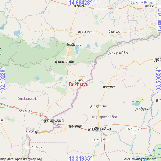
Ta Phraya GPS coordinates[2]
14° 0' 11.088" North, 102° 48' 19.476" East
| Map corner | latitude | longitude |
|---|---|---|
| Upper-left | 14.68428°, | 102.10229° |
| Center: | 14.00308°, | 102.80541° |
| Lower-right: | 13.31985°, | 103.50854° |
| Map W x H: | 151.7×151.7 km | = 94.3×94.3mi |
| max Lat: | 20.43353° ⇑64.6% North |
| Ta Phraya: | 14.00308° |
| min Lat: | ⇓35.4% South 5.77434° |
| min Long | Ta Phraya | max Long |
| 97.93288° | 102.80541° | 105.49506° |
| W 77%⇐ | ⇒23% E |
Elevation
Elevation of Ta Phraya is 76 m = 249 ft, and this is 49.5 m = 162 ft below average elevation for this country.
| Max E: |
1011 m = 3317 ft | 51.7% |
| Avg. | 125.5 m = 412 ft | |
| Ta Phraya | 76 m = 249 ft | |
Min E: |
1 m = 3 ft | 48.3% |
See also: Thailand elevation on elevation.city.
Geographical zone
Ta Phraya is located in North Torrid zone (between Equator and Tropic of Cancer). Distance of this Northern Tropic circle is 1048.9 km =651.8 mi to North.| Distance of | km | miles | from Ta Phraya |
|---|---|---|---|
| North Pole | 8450.1 | 5250.6 | to North |
| Arctic Circle | 5844.2 | 3631.4 | to North |
| Tropic Cancer | 1048.9 | 651.8 | to North |
| Equator | 1557 | 967.5 | to South |


Nearby cities:
15 places around Ta Phraya: (largest is in red/bold)
• Aranyaprathet
47.6 km =29.6 mi,  223°
223°
• Ban Kruat
56.5 km =35.1 mi,  34°
34°
• Chaloem Phra Kiat
63.1 km =39.2 mi,  11°
11°
• Khok Sung
26.9 km =16.7 mi,  227°
227°
• Lahan Sai
45.8 km =28.5 mi, 7°
• Nang Rong
70.6 km =43.9 mi,  358°
358°
• Non Din Daeng
35.1 km =21.8 mi,  349°
349°
• Non Suwan
68 km =42.3 mi,  340°
340°
• Pa Kham
49.1 km =30.5 mi, 349°
• Pakham
49.1 km =30.5 mi, 349°
• Phanom Dong Rak
73 km =45.4 mi,  47°
47°
• Prakhon Chai
73.7 km =45.8 mi,  23°
23°
• Prakhon Chai
75.2 km =46.7 mi, 26°
• Soeng Sang
60 km =37.3 mi,  321°
321°
• Watthana Nakhon
59.9 km =37.2 mi,  241°
241°
Sources, notices
• [Note1] Compared only with cities in Thailand existing in our database
• [Src1] Map data: © OpenStreetMap contributors (CC-BY-SA)
• [Src2] Other city data from geonames.org with taken over terms of usage.
• [Src3] Geographical zone / Annual Mean Temperature by Robert A. Rohde @ Wikipedia
