Orzu geodata
Orzu (Khatlon) is a populated place; located in Tajikistan in Asia/Dushanbe (GMT+5) time zone. With population of 5,988 people, there are 44 cities with bigger population in this country. Compared to other cities in Tajikistan, 87.5% of cities are located further ↑North; 70.5% of cities are located further →East and 80.7% of cities have higher elevation than Orzu. Note1


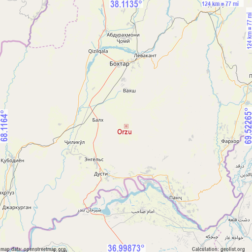
Orzu GPS coordinates[2]
37° 33' 29.52" North, 68° 49' 10.272" East
| Map corner | latitude | longitude |
|---|---|---|
| Upper-left | 38.1135°, | 68.1164° |
| Center: | 37.5582°, | 68.81952° |
| Lower-right: | 36.99873°, | 69.52265° |
| Map W x H: | 124×124 km | = 77.1×77.1mi |
| max Lat: | 40.99827° ⇑87.5% North |
| Orzu: | 37.5582° |
| min Lat: | ⇓12.5% South 36.72484° |
| min Long | Orzu | max Long |
| 67.60931° | 68.81952° | 73.96674° |
| W 29.5%⇐ | ⇒70.5% E |
Elevation
Elevation of Orzu is 415 m = 1362 ft, and this is 547.5 m = 1796 ft below average elevation for this country.
| Max E: |
3607 m = 11834 ft | 80.7% |
| Avg. | 962.5 m = 3158 ft | |
| Orzu | 415 m = 1362 ft | |
Min E: |
324 m = 1063 ft | 19.3% |
See also: Tajikistan elevation on elevation.city.
Geographical zone
Orzu is located in North temperate zone (between Tropic of Cancer and the Arctic Circle). Distance of this Northern Tropic circle is 1570.2 km =975.7 mi to South.| Distance of | km | miles | from Orzu |
|---|---|---|---|
| North Pole | 5831 | 3623.2 | to North |
| Arctic Circle | 3225.1 | 2004 | to North |
| Tropic Cancer | 1570.2 | 975.7 | to South |
| Equator | 4176.1 | 2594.9 | to South |


Nearby cities:
15 places around Orzu: (largest is in red/bold)
• Abdurahmoni Jomí
43.2 km =26.8 mi,  358°
358°
• Bŭstonqal’a
32.2 km =20 mi,  1°
1°
• Dŭstí
27.1 km =16.8 mi,  210°
210°
• Farkhor
52 km =32.3 mi,  98°
98°
• Gharavŭtí
32.9 km =20.4 mi,  271°
271°
• Ismoili Somoní
23.2 km =14.4 mi, 356°
• Jilikŭl
26.5 km =16.5 mi,  253°
253°
• Kirov
29.2 km =18.1 mi,  6°
6°
• Kolkhozobod
14.5 km =9 mi,  283°
283°
• Moskovskiy
21.8 km =13.5 mi,  285°
285°
• Panj
43.5 km =27 mi,  145°
145°
• Qubodiyon
58.2 km =36.2 mi, 253°
• Qŭrghonteppa
30.8 km =19.1 mi,  353°
353°
• Sarband
36 km =22.4 mi, 14°
• Vakhsh
17.5 km =10.9 mi, 4°
Sources, notices
• [Note1] Compared only with cities in Tajikistan existing in our database
• [Src1] Map data: © OpenStreetMap contributors (CC-BY-SA)
• [Src2] Other city data from geonames.org with taken over terms of usage.
• [Src3] Geographical zone / Annual Mean Temperature by Robert A. Rohde @ Wikipedia
