Susurluk geodata
Susurluk (Balıkesir) is a seat of a second-order administrative division; located in Turkey in Europe/Istanbul (GMT+3) time zone. With population of 24,816 people, there are 287 cities with bigger population in this country. Compared to other cities in Turkey, 67.6% of cities are located further ↓South; 89% of cities are located further →East and 87.4% of cities have higher elevation than Susurluk. Note1


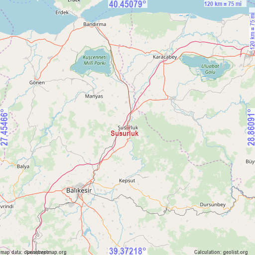
Susurluk GPS coordinates[2]
39° 54' 48.996" North, 28° 9' 28.008" East
| Map corner | latitude | longitude |
|---|---|---|
| Upper-left | 40.45079°, | 27.45466° |
| Center: | 39.91361°, | 28.15778° |
| Lower-right: | 39.37218°, | 28.86091° |
| Map W x H: | 119.9×119.9 km | = 74.5×74.5mi |
| max Lat: | 42.02683° ⇑32.4% North |
| Susurluk: | 39.91361° |
| min Lat: | ⇓67.6% South 35.9025° |
| min Long | Susurluk | max Long |
| 25.90902° | 28.15778° | 44.60099° |
| W 11%⇐ | ⇒89% E |
Elevation
Elevation of Susurluk is 55 m = 180 ft, and this is 662.4 m = 2173 ft below average elevation for this country.
| Max E: |
2682 m = 8799 ft | 87.4% |
| Avg. | 717.4 m = 2354 ft | |
| Susurluk | 55 m = 180 ft | |
Min E: |
0 m = 0 ft | 12.6% |
See also: Turkey elevation on elevation.city.
Geographical zone
Susurluk is located in North temperate zone (between Tropic of Cancer and the Arctic Circle). Distance of this Northern Tropic circle is 1832.1 km =1138.4 mi to South.| Distance of | km | miles | from Susurluk |
|---|---|---|---|
| North Pole | 5569.1 | 3460.5 | to North |
| Arctic Circle | 2963.2 | 1841.2 | to North |
| Tropic Cancer | 1832.1 | 1138.4 | to South |
| Equator | 4438 | 2757.6 | to South |


Nearby cities:
15 places around Susurluk: (largest is in red/bold)
• Aksakal
26.3 km =16.3 mi,  350°
350°
• Darıca
27.7 km =17.2 mi,  295°
295°
• Devecikonağı
34.5 km =21.4 mi,  89°
89°
• Durak
25 km =15.5 mi,  157°
157°
• Göbel
11.8 km =7.3 mi, 354°
• Ilıca
32.8 km =20.4 mi,  262°
262°
• Karacabey
37.5 km =23.3 mi,  27°
27°
• Kepsut
25 km =15.5 mi,  181°
181°
• Manyas
21.8 km =13.5 mi,  312°
312°
• Mustafakemalpaşa
25.5 km =15.8 mi,  57°
57°
• Tatkavaklı
22.2 km =13.8 mi,  53°
53°
• Yeniköy
20 km =12.4 mi,  221°
221°
• Ömerköy
12.1 km =7.5 mi, 220°
• Şamlı
28.9 km =18 mi,  246°
246°
• Şevketiye
33.2 km =20.6 mi, 307°
Sources, notices
• [Note1] Compared only with cities in Turkey existing in our database
• [Src1] Map data: © OpenStreetMap contributors (CC-BY-SA)
• [Src2] Other city data from geonames.org with taken over terms of usage.
• [Src3] Geographical zone / Annual Mean Temperature by Robert A. Rohde @ Wikipedia
