Simos geodata
Simos (Bitlis) is a seat of a third-order administrative division; located in Turkey in Europe/Istanbul (GMT+3) time zone. In our database, there are 1323 cities with bigger population. Compared to other cities in Turkey, 60.4% of cities are located further ↑North; 94.6% of cities are located further ←West and 95.2% of cities have lower elevation than Simos. Note1


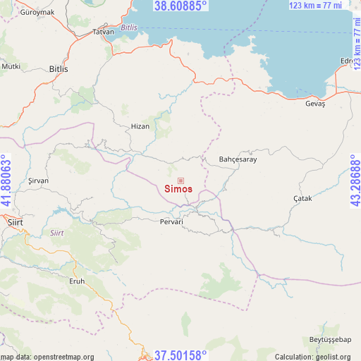
Simos GPS coordinates[2]
38° 3' 26.316" North, 42° 35' 1.5" East
| Map corner | latitude | longitude |
|---|---|---|
| Upper-left | 38.60885°, | 41.88063° |
| Center: | 38.05731°, | 42.58375° |
| Lower-right: | 37.50158°, | 43.28688° |
| Map W x H: | 123.1×123.1 km | = 76.5×76.5mi |
| max Lat: | 42.02683° ⇑60.4% North |
| Simos: | 38.05731° |
| min Lat: | ⇓39.6% South 35.9025° |
| min Long | Simos | max Long |
| 25.90902° | 42.58375° | 44.60099° |
| W 94.6%⇐ | ⇒5.4% E |
Elevation
Elevation of Simos is 1684 m = 5525 ft, and this is 966.6 m = 3171 ft above average elevation for this country.
| Max E: |
2682 m = 8799 ft | 4.8% |
| Simos | 1684 m 5525 ft | |
| Avg. | 717.4 m = 2354 ft | |
Min E: |
0 m = 0 ft | 95.2% |
See also: Turkey elevation on elevation.city.
Geographical zone
Simos is located in North temperate zone (between Tropic of Cancer and the Arctic Circle). Distance of this Northern Tropic circle is 1625.7 km =1010.2 mi to South.| Distance of | km | miles | from Simos |
|---|---|---|---|
| North Pole | 5775.5 | 3588.7 | to North |
| Arctic Circle | 3169.6 | 1969.5 | to North |
| Tropic Cancer | 1625.7 | 1010.2 | to South |
| Equator | 4231.6 | 2629.4 | to South |


Nearby cities:
15 places around Simos: (largest is in red/bold)
• Akşar
6.5 km =4 mi,  317°
317°
• Atlıhan
25.9 km =16.1 mi,  126°
126°
• Ayvalıbağ
14.4 km =8.9 mi,  219°
219°
• Bahçesaray
20.2 km =12.6 mi,  68°
68°
• Belenoluk
23.1 km =14.4 mi, 132°
• Beğendik
10.7 km =6.6 mi,  148°
148°
• Gökbudak
18 km =11.2 mi,  161°
161°
• Gökçekoru
16.3 km =10.1 mi,  226°
226°
• Güleçler
12.2 km =7.6 mi,  198°
198°
• Hizan
23.6 km =14.7 mi, 322°
• Ormandalı
15.4 km =9.6 mi,  213°
213°
• Pervari
13.9 km =8.6 mi,  192°
192°
• Uzyum
13.1 km =8.1 mi,  120°
120°
• Yeniaydın
23.6 km =14.7 mi, 213°
• Yukarı Balcılar
16.9 km =10.5 mi,  170°
170°
Sources, notices
• [Note1] Compared only with cities in Turkey existing in our database
• [Src1] Map data: © OpenStreetMap contributors (CC-BY-SA)
• [Src2] Other city data from geonames.org with taken over terms of usage.
• [Src3] Geographical zone / Annual Mean Temperature by Robert A. Rohde @ Wikipedia
