Muncusun geodata
Muncusun (Kayseri) is a seat of a third-order administrative division; located in Turkey in Europe/Istanbul (GMT+3) time zone. In our database, there are 1323 cities with bigger population. Compared to other cities in Turkey, 53.2% of cities are located further ↓South; 51.4% of cities are located further →East and 81.2% of cities have lower elevation than Muncusun. Note1


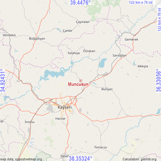
Muncusun GPS coordinates[2]
38° 54' 9.108" North, 35° 37' 38.748" East
| Map corner | latitude | longitude |
|---|---|---|
| Upper-left | 39.4476°, | 34.92431° |
| Center: | 38.90253°, | 35.62743° |
| Lower-right: | 38.35324°, | 36.33056° |
| Map W x H: | 121.7×121.7 km | = 75.6×75.6mi |
| max Lat: | 42.02683° ⇑46.8% North |
| Muncusun: | 38.90253° |
| min Lat: | ⇓53.2% South 35.9025° |
| min Long | Muncusun | max Long |
| 25.90902° | 35.62743° | 44.60099° |
| W 48.6%⇐ | ⇒51.4% E |
Elevation
Elevation of Muncusun is 1217 m = 3993 ft, and this is 499.6 m = 1639 ft above average elevation for this country.
| Max E: |
2682 m = 8799 ft | 18.8% |
| Muncusun | 1217 m 3993 ft | |
| Avg. | 717.4 m = 2354 ft | |
Min E: |
0 m = 0 ft | 81.2% |
See also: Turkey elevation on elevation.city.
Geographical zone
Muncusun is located in North temperate zone (between Tropic of Cancer and the Arctic Circle). Distance of this Northern Tropic circle is 1719.6 km =1068.5 mi to South.| Distance of | km | miles | from Muncusun |
|---|---|---|---|
| North Pole | 5681.5 | 3530.3 | to North |
| Arctic Circle | 3075.6 | 1911.1 | to North |
| Tropic Cancer | 1719.6 | 1068.5 | to South |
| Equator | 4325.6 | 2687.8 | to South |


Nearby cities:
15 places around Muncusun: (largest is in red/bold)
• Boğazlıyan
45.8 km =28.5 mi,  313°
313°
• Bünyan
21.1 km =13.1 mi,  107°
107°
• Elbaşı
39 km =24.2 mi,  130°
130°
• Erkilet
18.6 km =11.6 mi,  240°
240°
• Felahiye
21.5 km =13.4 mi,  346°
346°
• Gesi
12.6 km =7.8 mi,  167°
167°
• Hacılar
32.4 km =20.1 mi,  208°
208°
• Kayseri
22.6 km =14 mi, 213°
• Kocasinan
15.3 km =9.5 mi,  198°
198°
• Melikgazi
22.9 km =14.2 mi,  222°
222°
• Sarıoğlan
35.2 km =21.9 mi,  56°
56°
• Talas
24.4 km =15.2 mi, 195°
• Çandır
39.3 km =24.4 mi, 345°
• Çayıralan
44.5 km =27.7 mi,  1°
1°
• Özvatan
23.6 km =14.7 mi,  15°
15°
Sources, notices
• [Note1] Compared only with cities in Turkey existing in our database
• [Src1] Map data: © OpenStreetMap contributors (CC-BY-SA)
• [Src2] Other city data from geonames.org with taken over terms of usage.
• [Src3] Geographical zone / Annual Mean Temperature by Robert A. Rohde @ Wikipedia
