Çağlayan geodata
Çağlayan (Erzincan) is a seat of a third-order administrative division; located in Turkey in Europe/Istanbul (GMT+3) time zone. In our database, there are 1323 cities with bigger population. Compared to other cities in Turkey, 62.7% of cities are located further ↓South; 72.1% of cities are located further ←West and 92% of cities have lower elevation than Çağlayan. Note1


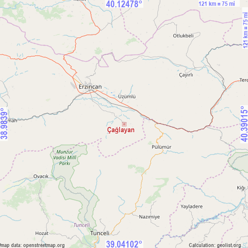
Çağlayan GPS coordinates[2]
39° 35' 6.072" North, 39° 41' 13.272" East
| Map corner | latitude | longitude |
|---|---|---|
| Upper-left | 40.12478°, | 38.9839° |
| Center: | 39.58502°, | 39.68702° |
| Lower-right: | 39.04102°, | 40.39015° |
| Map W x H: | 120.5×120.5 km | = 74.9×74.9mi |
| max Lat: | 42.02683° ⇑37.3% North |
| Çağlayan: | 39.58502° |
| min Lat: | ⇓62.7% South 35.9025° |
| min Long | Çağlayan | max Long |
| 25.90902° | 39.68702° | 44.60099° |
| W 72.1%⇐ | ⇒27.9% E |
Elevation
Elevation of Çağlayan is 1541 m = 5056 ft, and this is 823.6 m = 2702 ft above average elevation for this country.
| Max E: |
2682 m = 8799 ft | 8% |
| Çağlayan | 1541 m 5056 ft | |
| Avg. | 717.4 m = 2354 ft | |
Min E: |
0 m = 0 ft | 92% |
See also: Turkey elevation on elevation.city.
Geographical zone
Çağlayan is located in North temperate zone (between Tropic of Cancer and the Arctic Circle). Distance of this Northern Tropic circle is 1795.5 km =1115.7 mi to South.| Distance of | km | miles | from Çağlayan |
|---|---|---|---|
| North Pole | 5605.6 | 3483.2 | to North |
| Arctic Circle | 2999.7 | 1863.9 | to North |
| Tropic Cancer | 1795.5 | 1115.7 | to South |
| Equator | 4401.4 | 2734.9 | to South |


Nearby cities:
15 places around Çağlayan: (largest is in red/bold)
• Alpköy
43 km =26.7 mi,  274°
274°
• Balpayam
36.7 km =22.8 mi,  120°
120°
• Başköy
34.6 km =21.5 mi,  22°
22°
• Cimin
13.9 km =8.6 mi,  4°
4°
• Dağyolu
19.6 km =12.2 mi,  105°
105°
• Dereova
40.4 km =25.1 mi,  157°
157°
• Erzincan
24 km =14.9 mi,  315°
315°
• Mezraa
25.1 km =15.6 mi,  151°
151°
• Nazimiye
46.7 km =29 mi, 164°
• Pulumer
21.1 km =13.1 mi, 122°
• Tanyeri
12.7 km =7.9 mi,  76°
76°
• Turluk
22.9 km =14.2 mi,  134°
134°
• Çatalarmut
40 km =24.9 mi,  307°
307°
• Çayırlı
38.3 km =23.8 mi,  49°
49°
• Üçdam
42 km =26.1 mi,  93°
93°
Sources, notices
• [Note1] Compared only with cities in Turkey existing in our database
• [Src1] Map data: © OpenStreetMap contributors (CC-BY-SA)
• [Src2] Other city data from geonames.org with taken over terms of usage.
• [Src3] Geographical zone / Annual Mean Temperature by Robert A. Rohde @ Wikipedia
