Tepehan geodata
Tepehan (Hatay) is a populated place; located in Turkey in Europe/Istanbul (GMT+3) time zone. With population of 2,483 people, there are 903 cities with bigger population in this country. Compared to other cities in Turkey, 99% of cities are located further ↑North; 52.6% of cities are located further ←West and 68.3% of cities have higher elevation than Tepehan. Note1


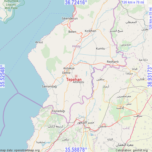
Tepehan GPS coordinates[2]
36° 9' 30.708" North, 36° 13' 42.96" East
| Map corner | latitude | longitude |
|---|---|---|
| Upper-left | 36.72416°, | 35.52548° |
| Center: | 36.15853°, | 36.2286° |
| Lower-right: | 35.58878°, | 36.93173° |
| Map W x H: | 126.2×126.2 km | = 78.4×78.4mi |
| max Lat: | 42.02683° ⇑99% North |
| Tepehan: | 36.15853° |
| min Lat: | ⇓1% South 35.9025° |
| min Long | Tepehan | max Long |
| 25.90902° | 36.2286° | 44.60099° |
| W 52.6%⇐ | ⇒47.4% E |
Elevation
Elevation of Tepehan is 355 m = 1165 ft, and this is 362.4 m = 1189 ft below average elevation for this country.
| Max E: |
2682 m = 8799 ft | 68.3% |
| Avg. | 717.4 m = 2354 ft | |
| Tepehan | 355 m = 1165 ft | |
Min E: |
0 m = 0 ft | 31.7% |
See also: Turkey elevation on elevation.city.
Geographical zone
Tepehan is located in North temperate zone (between Tropic of Cancer and the Arctic Circle). Distance of this Northern Tropic circle is 1414.5 km =878.9 mi to South.| Distance of | km | miles | from Tepehan |
|---|---|---|---|
| North Pole | 5986.6 | 3719.9 | to North |
| Arctic Circle | 3380.7 | 2100.7 | to North |
| Tropic Cancer | 1414.5 | 878.9 | to South |
| Equator | 4020.5 | 2498.2 | to South |


Nearby cities:
15 places around Tepehan: (largest is in red/bold)
• Altınözü
5.3 km =3.3 mi,  164°
164°
• Antakya
8.3 km =5.2 mi,  309°
309°
• Atayurdu
5.2 km =3.2 mi,  61°
61°
• Açıkdere
7.3 km =4.5 mi,  22°
22°
• Aşağıokçular
8.2 km =5.1 mi,  285°
285°
• Babatorun
10.6 km =6.6 mi,  148°
148°
• Boynuyoğun
10.3 km =6.4 mi,  83°
83°
• Dursunlu
6.4 km =4 mi,  278°
278°
• Gümüşgöze
8.7 km =5.4 mi,  262°
262°
• Güneysöğüt
10.6 km =6.6 mi, 279°
• Harbiye
8.9 km =5.5 mi,  254°
254°
• Hıdırbey
10.6 km =6.6 mi,  301°
301°
• Kastal
10 km =6.2 mi,  6°
6°
• Mansurlu
6.9 km =4.3 mi,  1°
1°
• Samankaya
9.1 km =5.7 mi, 264°
Sources, notices
• [Note1] Compared only with cities in Turkey existing in our database
• [Src1] Map data: © OpenStreetMap contributors (CC-BY-SA)
• [Src2] Other city data from geonames.org with taken over terms of usage.
• [Src3] Geographical zone / Annual Mean Temperature by Robert A. Rohde @ Wikipedia
