Işıklar geodata
Işıklar (Şanlıurfa) is a populated place; located in Turkey in Europe/Istanbul (GMT+3) time zone. With population of 1,164 people, there are 1054 cities with bigger population in this country. Compared to other cities in Turkey, 88% of cities are located further ↑North; 74.3% of cities are located further ←West and 63.7% of cities have higher elevation than Işıklar. Note1


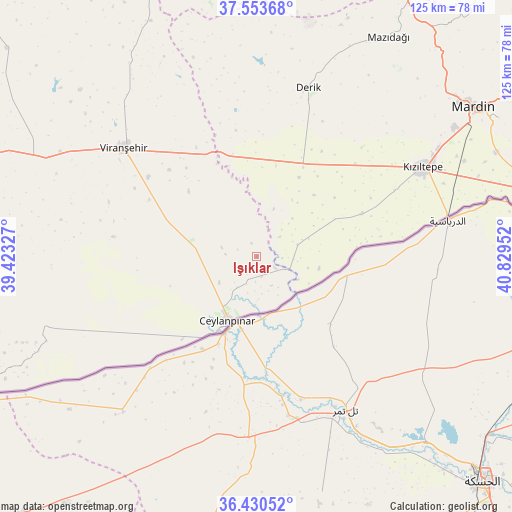
Işıklar GPS coordinates[2]
36° 59' 39.012" North, 40° 7' 35.004" East
| Map corner | latitude | longitude |
|---|---|---|
| Upper-left | 37.55368°, | 39.42327° |
| Center: | 36.99417°, | 40.12639° |
| Lower-right: | 36.43052°, | 40.82952° |
| Map W x H: | 124.9×124.9 km | = 77.6×77.6mi |
| max Lat: | 42.02683° ⇑88% North |
| Işıklar: | 36.99417° |
| min Lat: | ⇓12% South 35.9025° |
| min Long | Işıklar | max Long |
| 25.90902° | 40.12639° | 44.60099° |
| W 74.3%⇐ | ⇒25.7% E |
Elevation
Elevation of Işıklar is 440 m = 1444 ft, and this is 277.4 m = 910 ft below average elevation for this country.
| Max E: |
2682 m = 8799 ft | 63.7% |
| Avg. | 717.4 m = 2354 ft | |
| Işıklar | 440 m = 1444 ft | |
Min E: |
0 m = 0 ft | 36.3% |
See also: Turkey elevation on elevation.city.
Geographical zone
Işıklar is located in North temperate zone (between Tropic of Cancer and the Arctic Circle). Distance of this Northern Tropic circle is 1507.4 km =936.7 mi to South.| Distance of | km | miles | from Işıklar |
|---|---|---|---|
| North Pole | 5893.7 | 3662.2 | to North |
| Arctic Circle | 3287.8 | 2042.9 | to North |
| Tropic Cancer | 1507.4 | 936.7 | to South |
| Equator | 4113.4 | 2555.9 | to South |


Nearby cities:
15 places around Işıklar: (largest is in red/bold)
• Avcılı
7.9 km =4.9 mi,  152°
152°
• Aydoğdu
5.1 km =3.2 mi,  166°
166°
• Aşağıdoruklu
10.3 km =6.4 mi,  177°
177°
• Boğalı
8.8 km =5.5 mi,  161°
161°
• Büyük Yenice
2.2 km =1.4 mi,  258°
258°
• Ceylanpınar
17.7 km =11 mi,  202°
202°
• Damlacık
9 km =5.6 mi,  193°
193°
• Gyundyukoru
37.1 km =23.1 mi,  63°
63°
• Hanköy
8 km =5 mi,  126°
126°
• Kocatepe
26.3 km =16.3 mi,  6°
6°
• Muratlı
4.3 km =2.7 mi,  212°
212°
• Yeşiltepe
9.7 km =6 mi, 130°
• Yukarı Karataş
10 km =6.2 mi,  218°
218°
• Yukarı Taşyalak
3.5 km =2.2 mi, 171°
• Çıplak
11.3 km =7 mi,  119°
119°
Sources, notices
• [Note1] Compared only with cities in Turkey existing in our database
• [Src1] Map data: © OpenStreetMap contributors (CC-BY-SA)
• [Src2] Other city data from geonames.org with taken over terms of usage.
• [Src3] Geographical zone / Annual Mean Temperature by Robert A. Rohde @ Wikipedia
