Yığılca geodata
Yığılca (Düzce) is a seat of a second-order administrative division; located in Turkey in Europe/Istanbul (GMT+3) time zone. In our database, there are 1323 cities with bigger population. Compared to other cities in Turkey, 87.9% of cities are located further ↓South; 68.8% of cities are located further →East and 69.2% of cities have higher elevation than Yığılca. Note1


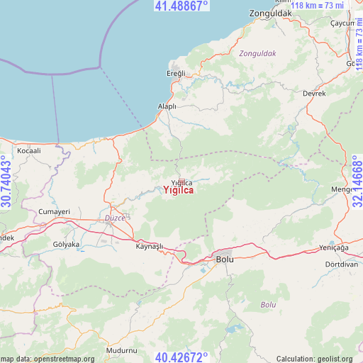
Yığılca GPS coordinates[2]
40° 57' 35.388" North, 31° 26' 36.78" East
| Map corner | latitude | longitude |
|---|---|---|
| Upper-left | 41.48867°, | 30.74043° |
| Center: | 40.95983°, | 31.44355° |
| Lower-right: | 40.42672°, | 32.14668° |
| Map W x H: | 118.1×118.1 km | = 73.4×73.4mi |
| max Lat: | 42.02683° ⇑12.1% North |
| Yığılca: | 40.95983° |
| min Lat: | ⇓87.9% South 35.9025° |
| min Long | Yığılca | max Long |
| 25.90902° | 31.44355° | 44.60099° |
| W 31.2%⇐ | ⇒68.8% E |
Elevation
Elevation of Yığılca is 330 m = 1083 ft, and this is 387.4 m = 1271 ft below average elevation for this country.
| Max E: |
2682 m = 8799 ft | 69.2% |
| Avg. | 717.4 m = 2354 ft | |
| Yığılca | 330 m = 1083 ft | |
Min E: |
0 m = 0 ft | 30.8% |
See also: Turkey elevation on elevation.city.
Geographical zone
Yığılca is located in North temperate zone (between Tropic of Cancer and the Arctic Circle). Distance of this Northern Tropic circle is 1948.4 km =1210.7 mi to South.| Distance of | km | miles | from Yığılca |
|---|---|---|---|
| North Pole | 5452.8 | 3388.2 | to North |
| Arctic Circle | 2846.9 | 1769 | to North |
| Tropic Cancer | 1948.4 | 1210.7 | to South |
| Equator | 4554.3 | 2829.9 | to South |


Nearby cities:
15 places around Yığılca: (largest is in red/bold)
• Akçakoca
30.9 km =19.2 mi,  297°
297°
• Alaplı
25.1 km =15.6 mi,  348°
348°
• Bolu
28.4 km =17.6 mi,  151°
151°
• Cumayeri
42.5 km =26.4 mi,  257°
257°
• Düzce
27.1 km =16.8 mi,  240°
240°
• Ereğli
36 km =22.4 mi,  356°
356°
• Eğerci
35 km =21.7 mi,  63°
63°
• Gökçesu
44 km =27.3 mi,  99°
99°
• Gölyaka
42.8 km =26.6 mi, 241°
• Gümüşova
44.1 km =27.4 mi,  253°
253°
• Kaynaşlı
23.5 km =14.6 mi,  205°
205°
• Kocaali
50.6 km =31.4 mi,  281°
281°
• Konuralp
25.7 km =16 mi, 256°
• Ormanlı
26.9 km =16.7 mi,  32°
32°
• Çilimli
33.9 km =21.1 mi, 257°
Sources, notices
• [Note1] Compared only with cities in Turkey existing in our database
• [Src1] Map data: © OpenStreetMap contributors (CC-BY-SA)
• [Src2] Other city data from geonames.org with taken over terms of usage.
• [Src3] Geographical zone / Annual Mean Temperature by Robert A. Rohde @ Wikipedia
