İnece geodata
İnece (Kırklareli) is a seat of a third-order administrative division; located in Turkey in Europe/Istanbul (GMT+3) time zone. In our database, there are 1323 cities with bigger population. Compared to other cities in Turkey, 98.6% of cities are located further ↓South; 96.8% of cities are located further →East and 81.2% of cities have higher elevation than İnece. Note1


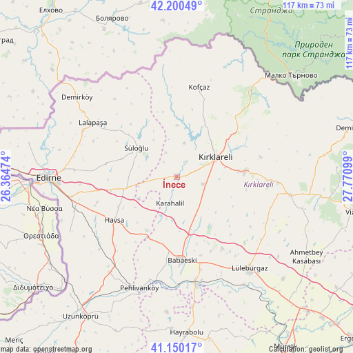
İnece GPS coordinates[2]
41° 40' 38.892" North, 27° 4' 4.296" East
| Map corner | latitude | longitude |
|---|---|---|
| Upper-left | 42.20049°, | 26.36474° |
| Center: | 41.67747°, | 27.06786° |
| Lower-right: | 41.15017°, | 27.77099° |
| Map W x H: | 116.8×116.8 km | = 72.6×72.6mi |
| max Lat: | 42.02683° ⇑1.4% North |
| İnece: | 41.67747° |
| min Lat: | ⇓98.6% South 35.9025° |
| min Long | İnece | max Long |
| 25.90902° | 27.06786° | 44.60099° |
| W 3.2%⇐ | ⇒96.8% E |
Elevation
Elevation of İnece is 105 m = 344 ft, and this is 612.4 m = 2009 ft below average elevation for this country.
| Max E: |
2682 m = 8799 ft | 81.2% |
| Avg. | 717.4 m = 2354 ft | |
| İnece | 105 m = 344 ft | |
Min E: |
0 m = 0 ft | 18.8% |
See also: Turkey elevation on elevation.city.
Geographical zone
İnece is located in North temperate zone (between Tropic of Cancer and the Arctic Circle). Distance of this Northern Tropic circle is 2028.2 km =1260.3 mi to South.| Distance of | km | miles | from İnece |
|---|---|---|---|
| North Pole | 5373 | 3338.6 | to North |
| Arctic Circle | 2767.1 | 1719.4 | to North |
| Tropic Cancer | 2028.2 | 1260.3 | to South |
| Equator | 4634.1 | 2879.5 | to South |


Nearby cities:
15 places around İnece: (largest is in red/bold)
• Babaeski
27.3 km =17 mi,  175°
175°
• Dereköy
37.7 km =23.4 mi,  41°
41°
• Hasköy
18 km =11.2 mi,  255°
255°
• Havsa
24.9 km =15.5 mi,  235°
235°
• Karakasım
39.5 km =24.5 mi, 243°
• Kofçaz
30.7 km =19.1 mi,  14°
14°
• Kırcasalih
39.2 km =24.4 mi,  215°
215°
• Kırklareli
14.5 km =9 mi,  63°
63°
• Lâlapaşa
32.9 km =20.4 mi,  303°
303°
• Lüleburgaz
38.9 km =24.2 mi,  141°
141°
• Pehlivanköy
38.5 km =23.9 mi,  197°
197°
• Pınarhisar
38 km =23.6 mi,  98°
98°
• Süloğlu
16.6 km =10.3 mi,  307°
307°
• Yoğuntaş
17.1 km =10.6 mi,  0°
0°
• Üsküp
28.8 km =17.9 mi,  76°
76°
Sources, notices
• [Note1] Compared only with cities in Turkey existing in our database
• [Src1] Map data: © OpenStreetMap contributors (CC-BY-SA)
• [Src2] Other city data from geonames.org with taken over terms of usage.
• [Src3] Geographical zone / Annual Mean Temperature by Robert A. Rohde @ Wikipedia
