Asau Village geodata
Asau Village (Vaitupu) is a seat of a first-order administrative division; located in Tuvalu in Pacific/Funafuti (GMT+12) time zone. With population of 250 people, there are 10 cities with bigger population in this country. Compared to other cities in Tuvalu, 63.6% of cities are located further ↓South; 63.6% of cities are located further →East and 63.6% of cities have lower elevation than Asau Village. Note1


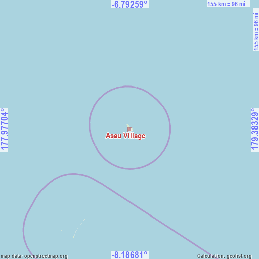
Asau Village GPS coordinates[2]
7° 29' 24.936" South, 178° 40' 48.576" East
| Map corner | latitude | longitude |
|---|---|---|
| Upper-left | -6.79259°, | 177.97704° |
| Center: | -7.49026°, | 178.68016° |
| Lower-right: | -8.18681°, | 179.38329° |
| Map W x H: | 155×155 km | = 96.3×96.3mi |
| max Lat: | -6.10819° ⇑36.4% North |
| Asau Village: | -7.49026° |
| min Lat: | ⇓63.6% South -8.52544° |
| min Long | Asau Village | max Long |
| 176.31472° | 178.68016° | 179.20094° |
| W 36.4%⇐ | ⇒63.6% E |
Elevation
Elevation of Asau Village is 9 m = 30 ft, and this is 0.7 m = 2 ft above average elevation for this country.
| Max E: |
12 m = 39 ft | 36.4% |
| Asau Village | 9 m 30 ft | |
| Avg. | 8.3 m = 27 ft | |
Min E: |
4 m = 13 ft | 63.6% |
See also: Tuvalu elevation on elevation.city.
Geographical zone
Asau Village is located in South Torrid zone (between Equator and Tropic of Capricorn). Distance of Equator is 832.8 km =517.5 mi to North.| Distance of | km | miles | from Asau Village |
|---|---|---|---|
| Equator | 832.8 | 517.5 | to North |
| Tropic Capricorn | 1773.1 | 1101.8 | to South |
| Antarctic Circle | 6568.3 | 4081.4 | to South |
| South Pole | 9174.2 | 5700.6 | to South |


Nearby cities:
11 places around Asau Village: (largest is in red/bold)
• Alapi Village
127.9 km =79.5 mi,  153°
153°
• Fakaifou Village
127.8 km =79.4 mi, 153°
• Funafuti
128.1 km =79.6 mi, 153°
• Kulia Village
213.8 km =132.8 mi,  315°
315°
• Motufoua School
1.4 km =0.9 mi,  88°
88°
• Savave Village
72.1 km =44.8 mi,  214°
214°
• Senala Village
127.7 km =79.3 mi, 153°
• Tanrake Village
171.4 km =106.5 mi,  279°
279°
• Teone Village
125.7 km =78.1 mi, 153°
• Toga Village
293.4 km =182.3 mi,  297°
297°
• Vaiaku Village
128.3 km =79.7 mi, 153°
Sources, notices
• [Note1] Compared only with cities in Tuvalu existing in our database
• [Src1] Map data: © OpenStreetMap contributors (CC-BY-SA)
• [Src2] Other city data from geonames.org with taken over terms of usage.
• [Src3] Geographical zone / Annual Mean Temperature by Robert A. Rohde @ Wikipedia
