Savave Village geodata
Savave Village (Nukufetau) is a seat of a first-order administrative division; located in Tuvalu in Pacific/Funafuti (GMT+12) time zone. With population of 586 people, there are 4 cities with bigger population in this country. Compared to other cities in Tuvalu, 54.5% of cities are located further ↓South; 72.7% of cities are located further →East and 100% of cities have lower elevation than Savave Village. Note1


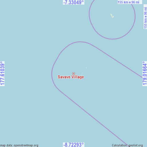
Savave Village GPS coordinates[2]
8° 1' 38.316" South, 178° 18' 48.636" East
| Map corner | latitude | longitude |
|---|---|---|
| Upper-left | -7.33049°, | 177.61039° |
| Center: | -8.02731°, | 178.31351° |
| Lower-right: | -8.72293°, | 179.01664° |
| Map W x H: | 154.8×154.8 km | = 96.2×96.2mi |
| max Lat: | -6.10819° ⇑45.5% North |
| Savave Village: | -8.02731° |
| min Lat: | ⇓54.5% South -8.52544° |
| min Long | Savave Village | max Long |
| 176.31472° | 178.31351° | 179.20094° |
| W 27.3%⇐ | ⇒72.7% E |
Elevation
Elevation of Savave Village is 12 m = 39 ft, and this is 3.7 m = 12 ft above average elevation for this country.
| Max E: |
12 m = 39 ft | 0% |
| Savave Village | 12 m 39 ft | |
| Avg. | 8.3 m = 27 ft | |
Min E: |
4 m = 13 ft | 100% |
See also: Tuvalu elevation on elevation.city.
Geographical zone
Savave Village is located in South Torrid zone (between Equator and Tropic of Capricorn). Distance of Equator is 892.6 km =554.6 mi to North.| Distance of | km | miles | from Savave Village |
|---|---|---|---|
| Equator | 892.6 | 554.6 | to North |
| Tropic Capricorn | 1713.4 | 1064.7 | to South |
| Antarctic Circle | 6508.6 | 4044.3 | to South |
| South Pole | 9114.5 | 5663.5 | to South |


Nearby cities:
11 places around Savave Village: (largest is in red/bold)
• Alapi Village
111.6 km =69.3 mi,  119°
119°
• Asau Village
72.1 km =44.8 mi,  34°
34°
• Fakaifou Village
111.8 km =69.5 mi, 119°
• Funafuti
111.5 km =69.3 mi, 119°
• Kulia Village
239.2 km =148.6 mi,  333°
333°
• Motufoua School
72.9 km =45.3 mi, 34°
• Senala Village
111.6 km =69.3 mi, 119°
• Tanrake Village
155.4 km =96.6 mi,  304°
304°
• Teone Village
110.3 km =68.5 mi, 118°
• Toga Village
293.3 km =182.2 mi,  311°
311°
• Vaiaku Village
111.6 km =69.3 mi, 119°
Sources, notices
• [Note1] Compared only with cities in Tuvalu existing in our database
• [Src1] Map data: © OpenStreetMap contributors (CC-BY-SA)
• [Src2] Other city data from geonames.org with taken over terms of usage.
• [Src3] Geographical zone / Annual Mean Temperature by Robert A. Rohde @ Wikipedia
