Husiatyn geodata
Husiatyn (Ternopil) is a populated place; located in Ukraine in Europe/Kiev (GMT+3) time zone. With population of 1,311 people, there are 1265 cities with bigger population in this country. Compared to other cities in Ukraine, 67.9% of cities are located further ↓South; 80.2% of cities are located further →East and 84.1% of cities have lower elevation than Husiatyn. Note1


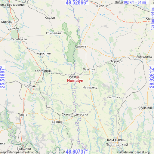
Husiatyn GPS coordinates[2]
49° 4' 12.54" North, 26° 13' 22.764" East
| Map corner | latitude | longitude |
|---|---|---|
| Upper-left | 49.52866°, | 25.51987° |
| Center: | 49.07015°, | 26.22299° |
| Lower-right: | 48.60737°, | 26.92612° |
| Map W x H: | 102.4×102.4 km | = 63.6×63.6mi |
| max Lat: | 52.18903° ⇑32.1% North |
| Husiatyn: | 49.07015° |
| min Lat: | ⇓67.9% South 44.39214° |
| min Long | Husiatyn | max Long |
| 22.20555° | 26.22299° | 40.13222° |
| W 19.8%⇐ | ⇒80.2% E |
Elevation
Elevation of Husiatyn is 268 m = 879 ft, and this is 112.2 m = 368 ft above average elevation for this country.
| Max E: |
886 m = 2907 ft | 15.9% |
| Husiatyn | 268 m 879 ft | |
| Avg. | 155.8 m = 511 ft | |
Min E: |
-3 m = -10 ft | 84.1% |
See also: Ukraine elevation on elevation.city.
Geographical zone
Husiatyn is located in North temperate zone (between Tropic of Cancer and the Arctic Circle). Distance of this North polar circle is 1945.1 km =1208.6 mi to North.| Distance of | km | miles | from Husiatyn |
|---|---|---|---|
| North Pole | 4551 | 2827.9 | to North |
| Arctic Circle | 1945.1 | 1208.6 | to North |
| Tropic Cancer | 2850.2 | 1771 | to South |
| Equator | 5456.1 | 3390.3 | to South |


Nearby cities:
15 places around Husiatyn: (largest is in red/bold)
• Belaya
33.3 km =20.7 mi,  262°
262°
• Borshchiv
32.4 km =20.1 mi,  203°
203°
• Chemerivtsi
10.8 km =6.7 mi,  126°
126°
• Chortkiv
31.5 km =19.6 mi, 259°
• Horodok
28.3 km =17.6 mi,  68°
68°
• Hrymayliv
32.9 km =20.4 mi,  332°
332°
• Husiatyn
2.8 km =1.7 mi,  276°
276°
• Khorostkiv
26.9 km =16.7 mi,  305°
305°
• Kopychyntsi
23.1 km =14.4 mi, 279°
• Novoye Sëlo
43.5 km =27 mi, 74°
• Skala-Podil’s’ka
24.4 km =15.2 mi,  184°
184°
• Skalat
43.5 km =27 mi,  335°
335°
• Yagel’nitsa Stara
38.6 km =24 mi,  254°
254°
• Yahil’nytsya
37.7 km =23.4 mi, 247°
• Zakupne
10 km =6.2 mi,  56°
56°
Sources, notices
• [Note1] Compared only with cities in Ukraine existing in our database
• [Src1] Map data: © OpenStreetMap contributors (CC-BY-SA)
• [Src2] Other city data from geonames.org with taken over terms of usage.
• [Src3] Geographical zone / Annual Mean Temperature by Robert A. Rohde @ Wikipedia
