Trypillia geodata
Trypillia (Kyiv) is a populated place; located in Ukraine in Europe/Kiev (GMT+3) time zone. With population of 3,000 people, there are 943 cities with bigger population in this country. Compared to other cities in Ukraine, 85.5% of cities are located further ↓South; 63% of cities are located further →East and 50.5% of cities have higher elevation than Trypillia. Note1


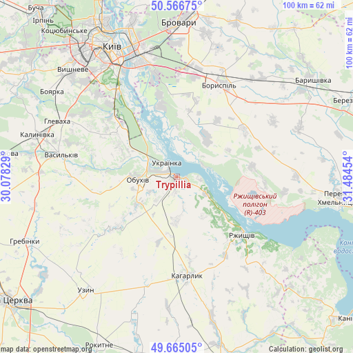
Trypillia GPS coordinates[2]
50° 7' 4.872" North, 30° 46' 53.076" East
| Map corner | latitude | longitude |
|---|---|---|
| Upper-left | 50.56675°, | 30.07829° |
| Center: | 50.11802°, | 30.78141° |
| Lower-right: | 49.66505°, | 31.48454° |
| Map W x H: | 100.3×100.3 km | = 62.3×62.3mi |
| max Lat: | 52.18903° ⇑14.5% North |
| Trypillia: | 50.11802° |
| min Lat: | ⇓85.5% South 44.39214° |
| min Long | Trypillia | max Long |
| 22.20555° | 30.78141° | 40.13222° |
| W 37%⇐ | ⇒63% E |
Elevation
Elevation of Trypillia is 132 m = 433 ft, and this is 23.8 m = 78 ft below average elevation for this country.
| Max E: |
886 m = 2907 ft | 50.5% |
| Avg. | 155.8 m = 511 ft | |
| Trypillia | 132 m = 433 ft | |
Min E: |
-3 m = -10 ft | 49.5% |
See also: Ukraine elevation on elevation.city.
Geographical zone
Trypillia is located in North temperate zone (between Tropic of Cancer and the Arctic Circle). Distance of this North polar circle is 1828.6 km =1136.2 mi to North.| Distance of | km | miles | from Trypillia |
|---|---|---|---|
| North Pole | 4434.5 | 2755.5 | to North |
| Arctic Circle | 1828.6 | 1136.2 | to North |
| Tropic Cancer | 2966.7 | 1843.4 | to South |
| Equator | 5572.6 | 3462.7 | to South |


Nearby cities:
15 places around Trypillia: (largest is in red/bold)
• Boryspil’
28.9 km =18 mi,  25°
25°
• Chabany
35.5 km =22.1 mi,  314°
314°
• Hlevakha
36.7 km =22.8 mi,  298°
298°
• Hnidyn
24 km =14.9 mi,  347°
347°
• Kaharlyk
28.6 km =17.8 mi,  173°
173°
• Khotiv
32.5 km =20.2 mi,  316°
316°
• Mirovka
23.6 km =14.7 mi,  208°
208°
• Obukhiv
11.7 km =7.3 mi,  263°
263°
• Prolisky
30.4 km =18.9 mi,  359°
359°
• Rzhyshchiv
25.2 km =15.7 mi,  131°
131°
• Stayki
9.8 km =6.1 mi,  116°
116°
• Ukrainka
3.8 km =2.4 mi, 318°
• Vasylkiv
34.2 km =21.3 mi,  282°
282°
• Voronkov
14.3 km =8.9 mi,  35°
35°
• Vytachiv
6.3 km =3.9 mi,  93°
93°
Sources, notices
• [Note1] Compared only with cities in Ukraine existing in our database
• [Src1] Map data: © OpenStreetMap contributors (CC-BY-SA)
• [Src2] Other city data from geonames.org with taken over terms of usage.
• [Src3] Geographical zone / Annual Mean Temperature by Robert A. Rohde @ Wikipedia
