Sarata geodata
Sarata (Odesa) is a seat of a second-order administrative division; located in Ukraine in Europe/Kiev (GMT+3) time zone. With population of 5,035 people, there are 650 cities with bigger population in this country. Compared to other cities in Ukraine, 69.7% of cities are located further ↑North; 69.4% of cities are located further →East and 94.4% of cities have higher elevation than Sarata. Note1


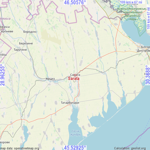
Sarata GPS coordinates[2]
46° 1' 10.776" North, 29° 39' 56.412" East
| Map corner | latitude | longitude |
|---|---|---|
| Upper-left | 46.50576°, | 28.96255° |
| Center: | 46.01966°, | 29.66567° |
| Lower-right: | 45.52925°, | 30.3688° |
| Map W x H: | 108.6×108.6 km | = 67.5×67.5mi |
| max Lat: | 52.18903° ⇑69.7% North |
| Sarata: | 46.01966° |
| min Lat: | ⇓30.3% South 44.39214° |
| min Long | Sarata | max Long |
| 22.20555° | 29.66567° | 40.13222° |
| W 30.6%⇐ | ⇒69.4% E |
Elevation
Elevation of Sarata is 13 m = 43 ft, and this is 142.8 m = 469 ft below average elevation for this country.
| Max E: |
886 m = 2907 ft | 94.4% |
| Avg. | 155.8 m = 511 ft | |
| Sarata | 13 m = 43 ft | |
Min E: |
-3 m = -10 ft | 5.6% |
See also: Ukraine elevation on elevation.city.
Geographical zone
Sarata is located in North temperate zone (between Tropic of Cancer and the Arctic Circle). Distance of this North polar circle is 2284.3 km =1419.4 mi to North.| Distance of | km | miles | from Sarata |
|---|---|---|---|
| North Pole | 4890.2 | 3038.6 | to North |
| Arctic Circle | 2284.3 | 1419.4 | to North |
| Tropic Cancer | 2511 | 1560.3 | to South |
| Equator | 5116.9 | 3179.5 | to South |


Nearby cities:
15 places around Sarata: (largest is in red/bold)
• Artsyz
19.4 km =12.1 mi,  260°
260°
• Berezyne
42.5 km =26.4 mi,  303°
303°
• Bilhorod-Dnistrovskyi
56.2 km =34.9 mi,  69°
69°
• Borodino
45.3 km =28.1 mi,  313°
313°
• Dmytrivka
52.7 km =32.7 mi, 264°
• Kamyshevka Vtoraya
27 km =16.8 mi,  28°
28°
• Kulevcha
20.9 km =13 mi,  86°
86°
• Plakhtiyivka
10 km =6.2 mi, 25°
• Salhany
54.4 km =33.8 mi, 74°
• Serhiyivka
54.9 km =34.1 mi, 89°
• Shabo
57 km =35.4 mi,  77°
77°
• Starokozache
43 km =26.7 mi, 34°
• Tarutyne
43.7 km =27.2 mi, 295°
• Tatarbunary
20.7 km =12.9 mi,  191°
191°
• Zorya
4 km =2.5 mi,  143°
143°
Sources, notices
• [Note1] Compared only with cities in Ukraine existing in our database
• [Src1] Map data: © OpenStreetMap contributors (CC-BY-SA)
• [Src2] Other city data from geonames.org with taken over terms of usage.
• [Src3] Geographical zone / Annual Mean Temperature by Robert A. Rohde @ Wikipedia
