Kostyantynivka geodata
Kostyantynivka (Zaporizhia) is a populated place; located in Ukraine in Europe/Zaporozhye (GMT+3) time zone. With population of 11,540 people, there are 319 cities with bigger population in this country. Compared to other cities in Ukraine, 64.9% of cities are located further ↑North; 84.2% of cities are located further ←West and 98% of cities have higher elevation than Kostyantynivka. Note1


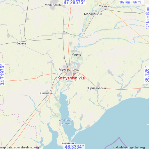
Kostyantynivka GPS coordinates[2]
46° 49' 0.228" North, 35° 25' 22.332" East
| Map corner | latitude | longitude |
|---|---|---|
| Upper-left | 47.29575°, | 34.71975° |
| Center: | 46.81673°, | 35.42287° |
| Lower-right: | 46.3334°, | 36.126° |
| Map W x H: | 107×107 km | = 66.5×66.5mi |
| max Lat: | 52.18903° ⇑64.9% North |
| Kostyantynivka: | 46.81673° |
| min Lat: | ⇓35.1% South 44.39214° |
| min Long | Kostyantynivka | max Long |
| 22.20555° | 35.42287° | 40.13222° |
| W 84.2%⇐ | ⇒15.8% E |
Elevation
Elevation of Kostyantynivka is 7 m = 23 ft, and this is 148.8 m = 488 ft below average elevation for this country.
| Max E: |
886 m = 2907 ft | 98% |
| Avg. | 155.8 m = 511 ft | |
| Kostyantynivka | 7 m = 23 ft | |
Min E: |
-3 m = -10 ft | 2% |
See also: Ukraine elevation on elevation.city.
Geographical zone
Kostyantynivka is located in North temperate zone (between Tropic of Cancer and the Arctic Circle). Distance of this North polar circle is 2195.6 km =1364.3 mi to North.| Distance of | km | miles | from Kostyantynivka |
|---|---|---|---|
| North Pole | 4801.5 | 2983.5 | to North |
| Arctic Circle | 2195.6 | 1364.3 | to North |
| Tropic Cancer | 2599.6 | 1615.3 | to South |
| Equator | 5205.5 | 3234.5 | to South |


Nearby cities:
15 places around Kostyantynivka: (largest is in red/bold)
• Kyrylivka
49.2 km =30.6 mi,  184°
184°
• Matviyivka
35.6 km =22.1 mi,  323°
323°
• Melitopol
5.7 km =3.5 mi,  309°
309°
• Mykhaylivka
52.9 km =32.9 mi,  343°
343°
• Novobohdanivka
30.7 km =19.1 mi,  346°
346°
• Novovasylivka
25 km =15.5 mi,  86°
86°
• Pryazovs’ke
19.1 km =11.9 mi,  118°
118°
• Pryshyb
49.8 km =30.9 mi, 350°
• Rozivka
29.8 km =18.5 mi,  62°
62°
• Terpinnya
17 km =10.6 mi,  359°
359°
• Tokmak
53.5 km =33.2 mi,  24°
24°
• Tymoshivka
47 km =29.2 mi,  330°
330°
• Vesele
44.4 km =27.6 mi,  299°
299°
• Voznesenka
6.9 km =4.3 mi,  27°
27°
• Yakymivka
23.9 km =14.9 mi,  237°
237°
Sources, notices
• [Note1] Compared only with cities in Ukraine existing in our database
• [Src1] Map data: © OpenStreetMap contributors (CC-BY-SA)
• [Src2] Other city data from geonames.org with taken over terms of usage.
• [Src3] Geographical zone / Annual Mean Temperature by Robert A. Rohde @ Wikipedia
