Katerynopil geodata
Katerynopil (Cherkasy) is a seat of a second-order administrative division; located in Ukraine in Europe/Kiev (GMT+3) time zone. In our database, there are 1661 cities with bigger population. Compared to other cities in Ukraine, 65.2% of cities are located further ↓South; 61.3% of cities are located further →East and 51.5% of cities have lower elevation than Katerynopil. Note1


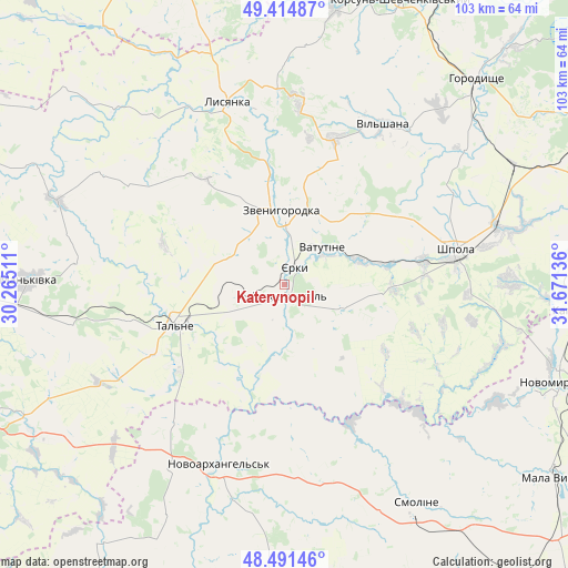
Katerynopil GPS coordinates[2]
48° 57' 19.08" North, 30° 58' 5.628" East
| Map corner | latitude | longitude |
|---|---|---|
| Upper-left | 49.41487°, | 30.26511° |
| Center: | 48.9553°, | 30.96823° |
| Lower-right: | 48.49146°, | 31.67136° |
| Map W x H: | 102.7×102.7 km | = 63.8×63.8mi |
| max Lat: | 52.18903° ⇑34.8% North |
| Katerynopil: | 48.9553° |
| min Lat: | ⇓65.2% South 44.39214° |
| min Long | Katerynopil | max Long |
| 22.20555° | 30.96823° | 40.13222° |
| W 38.7%⇐ | ⇒61.3% E |
Elevation
Elevation of Katerynopil is 140 m = 459 ft, and this is 15.8 m = 52 ft below average elevation for this country.
| Max E: |
886 m = 2907 ft | 48.5% |
| Avg. | 155.8 m = 511 ft | |
| Katerynopil | 140 m = 459 ft | |
Min E: |
-3 m = -10 ft | 51.5% |
See also: Ukraine elevation on elevation.city.
Geographical zone
Katerynopil is located in North temperate zone (between Tropic of Cancer and the Arctic Circle). Distance of this North polar circle is 1957.9 km =1216.6 mi to North.| Distance of | km | miles | from Katerynopil |
|---|---|---|---|
| North Pole | 4563.7 | 2835.8 | to North |
| Arctic Circle | 1957.9 | 1216.6 | to North |
| Tropic Cancer | 2837.4 | 1763.1 | to South |
| Equator | 5443.3 | 3382.3 | to South |


Nearby cities:
15 places around Katerynopil: (largest is in red/bold)
• Babanka
46.8 km =29.1 mi,  234°
234°
• Buky
43.9 km =27.3 mi,  290°
290°
• Hlybochok
15.8 km =9.8 mi, 231°
• Lebedyn
40.8 km =25.4 mi,  88°
88°
• Lysianka
34.5 km =21.4 mi,  342°
342°
• Mankivka
46.3 km =28.8 mi,  271°
271°
• Novoarkhanhel’s’k
34.8 km =21.6 mi,  198°
198°
• Shpola
31.6 km =19.6 mi,  79°
79°
• Talne
21.3 km =13.2 mi,  249°
249°
• Tanske
45.9 km =28.5 mi, 246°
• Tsvitkove
46.9 km =29.1 mi,  62°
62°
• Vatutine
9.5 km =5.9 mi,  45°
45°
• Yerky
4.2 km =2.6 mi,  20°
20°
• Yurkivka
10.7 km =6.6 mi, 54°
• Zvenihorodka
13.7 km =8.5 mi,  359°
359°
Sources, notices
• [Note1] Compared only with cities in Ukraine existing in our database
• [Src1] Map data: © OpenStreetMap contributors (CC-BY-SA)
• [Src2] Other city data from geonames.org with taken over terms of usage.
• [Src3] Geographical zone / Annual Mean Temperature by Robert A. Rohde @ Wikipedia
