Blahodatne geodata
Blahodatne (Donetsk) is a populated place; located in Ukraine in Europe/Kiev (GMT+3) time zone. With population of 3,512 people, there are 829 cities with bigger population in this country. Compared to other cities in Ukraine, 57.9% of cities are located further ↑North; 96.6% of cities are located further ←West and 74% of cities have higher elevation than Blahodatne. Note1


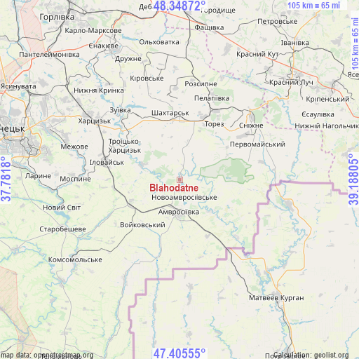
Blahodatne GPS coordinates[2]
47° 52' 45.408" North, 38° 29' 5.712" East
| Map corner | latitude | longitude |
|---|---|---|
| Upper-left | 48.34872°, | 37.7818° |
| Center: | 47.87928°, | 38.48492° |
| Lower-right: | 47.40555°, | 39.18805° |
| Map W x H: | 104.9×104.9 km | = 65.2×65.2mi |
| max Lat: | 52.18903° ⇑57.9% North |
| Blahodatne: | 47.87928° |
| min Lat: | ⇓42.1% South 44.39214° |
| min Long | Blahodatne | max Long |
| 22.20555° | 38.48492° | 40.13222° |
| W 96.6%⇐ | ⇒3.4% E |
Elevation
Elevation of Blahodatne is 64 m = 210 ft, and this is 91.8 m = 301 ft below average elevation for this country.
| Max E: |
886 m = 2907 ft | 74% |
| Avg. | 155.8 m = 511 ft | |
| Blahodatne | 64 m = 210 ft | |
Min E: |
-3 m = -10 ft | 26% |
See also: Ukraine elevation on elevation.city.
Geographical zone
Blahodatne is located in North temperate zone (between Tropic of Cancer and the Arctic Circle). Distance of this North polar circle is 2077.5 km =1290.9 mi to North.| Distance of | km | miles | from Blahodatne |
|---|---|---|---|
| North Pole | 4683.4 | 2910.1 | to North |
| Arctic Circle | 2077.5 | 1290.9 | to North |
| Tropic Cancer | 2717.8 | 1688.8 | to South |
| Equator | 5323.7 | 3308 | to South |


Nearby cities:
15 places around Blahodatne: (largest is in red/bold)
• Amvrosiyivka
9.6 km =6 mi,  183°
183°
• Chystyakove
19.6 km =12.2 mi,  25°
25°
• Ilovays’k
21.7 km =13.5 mi,  283°
283°
• Khartsyz’k
31 km =19.3 mi,  305°
305°
• Kuteynykove
16.5 km =10.3 mi,  243°
243°
• Mospyne
31.4 km =19.5 mi,  272°
272°
• P'yatypill'ya
32.5 km =20.2 mi,  297°
297°
• Rozsypne
30.8 km =19.1 mi,  12°
12°
• Shakhtars’k
20 km =12.4 mi,  350°
350°
• Shakhtne
19.1 km =11.9 mi, 307°
• Shyroke
20.8 km =12.9 mi,  294°
294°
• Snizhne
26.9 km =16.7 mi,  52°
52°
• Stizhkivs’ke
26 km =16.2 mi,  1°
1°
• Zalesnoye
29.5 km =18.3 mi,  55°
55°
• Zuhres
22 km =13.7 mi, 311°
Sources, notices
• [Note1] Compared only with cities in Ukraine existing in our database
• [Src1] Map data: © OpenStreetMap contributors (CC-BY-SA)
• [Src2] Other city data from geonames.org with taken over terms of usage.
• [Src3] Geographical zone / Annual Mean Temperature by Robert A. Rohde @ Wikipedia
