Chystyakove geodata
Chystyakove (Donetsk) is a populated place; located in Ukraine in Europe/Kiev (GMT+3) time zone. With population of 68,037 people, there are 67 cities with bigger population in this country. Compared to other cities in Ukraine, 56.2% of cities are located further ↑North; 97.2% of cities are located further ←West and 78.3% of cities have lower elevation than Chystyakove. Note1


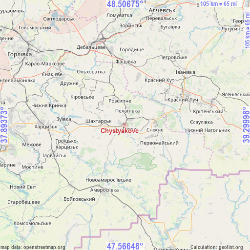
Chystyakove GPS coordinates[2]
48° 2' 19.536" North, 38° 35' 48.66" East
| Map corner | latitude | longitude |
|---|---|---|
| Upper-left | 48.50675°, | 37.89373° |
| Center: | 48.03876°, | 38.59685° |
| Lower-right: | 47.56648°, | 39.29998° |
| Map W x H: | 104.5×104.5 km | = 64.9×64.9mi |
| max Lat: | 52.18903° ⇑56.2% North |
| Chystyakove: | 48.03876° |
| min Lat: | ⇓43.8% South 44.39214° |
| min Long | Chystyakove | max Long |
| 22.20555° | 38.59685° | 40.13222° |
| W 97.2%⇐ | ⇒2.8% E |
Elevation
Elevation of Chystyakove is 240 m = 787 ft, and this is 84.2 m = 276 ft above average elevation for this country.
| Max E: |
886 m = 2907 ft | 21.7% |
| Chystyakove | 240 m 787 ft | |
| Avg. | 155.8 m = 511 ft | |
Min E: |
-3 m = -10 ft | 78.3% |
See also: Chystyakove elevation on elevation.city.
Geographical zone
Chystyakove is located in North temperate zone (between Tropic of Cancer and the Arctic Circle). Distance of this North polar circle is 2059.8 km =1279.9 mi to North.| Distance of | km | miles | from Chystyakove |
|---|---|---|---|
| North Pole | 4665.7 | 2899.1 | to North |
| Arctic Circle | 2059.8 | 1279.9 | to North |
| Tropic Cancer | 2735.5 | 1699.8 | to South |
| Equator | 5341.4 | 3319 | to South |


Nearby cities:
15 places around Chystyakove: (largest is in red/bold)
• Amvrosiyivka
28.7 km =17.8 mi,  198°
198°
• Blahodatne
19.6 km =12.2 mi,  205°
205°
• Dmytrivka
27.7 km =17.2 mi,  114°
114°
• Ilovays’k
32 km =19.9 mi,  246°
246°
• Krasnyy Kut
23.4 km =14.5 mi,  39°
39°
• Krasnyy Luch
27.6 km =17.1 mi,  66°
66°
• Miusyns’k
23.2 km =14.4 mi,  79°
79°
• Rozsypne
12.4 km =7.7 mi,  352°
352°
• Shakhtars’k
12 km =7.5 mi,  279°
279°
• Shakhtne
24.2 km =15 mi,  255°
255°
• Shyroke
28.7 km =17.8 mi, 251°
• Snizhne
13.1 km =8.1 mi,  96°
96°
• Stizhkivs’ke
11.4 km =7.1 mi,  316°
316°
• Zalesnoye
15.8 km =9.8 mi,  93°
93°
• Zuhres
24.9 km =15.5 mi, 262°
In other languages:
- In German: Tores
- In Russian: Chistyakovo, Tschistjakowo, Торез, Sloboda Alekseevka
- In Chinese: 多列士
Sources, notices
• [Note1] Compared only with cities in Ukraine existing in our database
• [Src1] Map data: © OpenStreetMap contributors (CC-BY-SA)
• [Src2] Other city data from geonames.org with taken over terms of usage.
• [Src3] Geographical zone / Annual Mean Temperature by Robert A. Rohde @ Wikipedia
