West Fork geodata
West Fork (Arkansas) is a populated place; located in United States in America/Chicago (GMT-5) time zone. With population of 2,543 people, there are 10512 cities with bigger population in this country. Compared to other cities in United States, 70.8% of cities are located further ↑North; 69.1% of cities are located further →East and 84.3% of cities have lower elevation than West Fork. Note1
Administrative division(s):
- Level 1: Arkansas
- Level 2: Washington County
- Level 3: Township of West Fork


West Fork GPS coordinates[2]
35° 55' 27.3" North, 94° 11' 18.744" West
| Map corner | latitude | longitude |
|---|---|---|
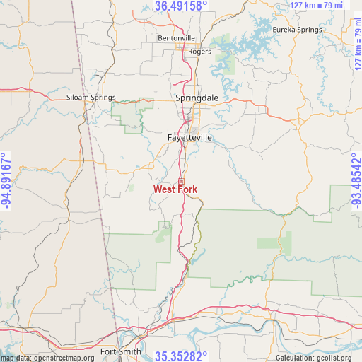
| Upper-left | 36.49158°, | -94.89167° |
| Center: | 35.92425°, | -94.18854° |
| Lower-right: | 35.35282°, | -93.48542° |
| Map W x H: | 126.6×126.6 km | = 78.7×78.7mi |
| max Lat: | 71.29058° ⇑70.8% North |
| West Fork: | 35.92425° |
| min Lat: | ⇓29.2% South 19.06759° |
| min Long | West Fork | max Long |
| -171.73463° | -94.18854° | -66.98998° |
| W 30.9%⇐ | ⇒69.1% E |
Elevation
Elevation of West Fork is 411 m = 1348 ft, and this is 116.2 m = 381 ft above average elevation for this country.
| Max E: |
3189 m = 10463 ft | 15.7% |
| West Fork | 411 m 1348 ft | |
| Avg. | 294.8 m = 967 ft | |
Min E: |
-60 m = -197 ft | 84.3% |
See also: United States elevation on elevation.city.
Geographical zone
West Fork is located in North temperate zone (between Tropic of Cancer and the Arctic Circle). Distance of this Northern Tropic circle is 1388.5 km =862.8 mi to South.| Distance of | km | miles | from West Fork |
|---|---|---|---|
| North Pole | 6012.7 | 3736.1 | to North |
| Arctic Circle | 3406.8 | 2116.9 | to North |
| Tropic Cancer | 1388.5 | 862.8 | to South |
| Equator | 3994.4 | 2482 | to South |


Nearby cities:
15 places around West Fork: (largest is in red/bold)
• Bethel Heights
32.7 km =20.3 mi,  9°
9°
• Elkins
18.4 km =11.4 mi,  62°
62°
• Elm Springs
31.6 km =19.6 mi,  352°
352°
• Farmington
14.1 km =8.8 mi,  338°
338°
• Fayetteville
15.6 km =9.7 mi, 10°
• Goshen
26.5 km =16.5 mi,  42°
42°
• Greenland
7.9 km =4.9 mi, 8°
• Johnson
23.3 km =14.5 mi, 5°
• Lincoln
21.3 km =13.2 mi,  277°
277°
• Lowell
37.2 km =23.1 mi, 8°
• Mountainburg
32.1 km =19.9 mi,  176°
176°
• Prairie Grove
13 km =8.1 mi,  296°
296°
• Springdale
29.7 km =18.5 mi, 10°
• Tontitown
28.5 km =17.7 mi, 351°
• Westville
35 km =21.7 mi, 282°
Sources, notices
• [Note1] Compared only with cities in United States existing in our database
• [Src1] Map data: © OpenStreetMap contributors (CC-BY-SA)
• [Src2] Other city data from geonames.org with taken over terms of usage.
• [Src3] Geographical zone / Annual Mean Temperature by Robert A. Rohde @ Wikipedia
