Citra geodata
Citra (Florida) is a populated place; located in United States in America/New_York (GMT-4) time zone. With population of 5,732 people, there are 6589 cities with bigger population in this country. Compared to other cities in United States, 94.8% of cities are located further ↑North; 65.2% of cities are located further ←West and 84.1% of cities have higher elevation than Citra. Note1


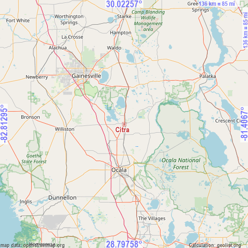
Citra GPS coordinates[2]
29° 24' 42.912" North, 82° 6' 35.352" West
| Map corner | latitude | longitude |
|---|---|---|
| Upper-left | 30.02257°, | -82.81295° |
| Center: | 29.41192°, | -82.10982° |
| Lower-right: | 28.79758°, | -81.4067° |
| Map W x H: | 136.2×136.2 km | = 84.6×84.6mi |
| max Lat: | 71.29058° ⇑94.8% North |
| Citra: | 29.41192° |
| min Lat: | ⇓5.2% South 19.06759° |
| min Long | Citra | max Long |
| -171.73463° | -82.10982° | -66.98998° |
| W 65.2%⇐ | ⇒34.8% E |
Elevation
Elevation of Citra is 31 m = 102 ft, and this is 263.8 m = 865 ft below average elevation for this country.
| Max E: |
3189 m = 10463 ft | 84.1% |
| Avg. | 294.8 m = 967 ft | |
| Citra | 31 m = 102 ft | |
Min E: |
-60 m = -197 ft | 15.9% |
See also: United States elevation on elevation.city.
Geographical zone
Citra is located in North temperate zone (between Tropic of Cancer and the Arctic Circle). Distance of this Northern Tropic circle is 664.4 km =412.8 mi to South.| Distance of | km | miles | from Citra |
|---|---|---|---|
| North Pole | 6736.8 | 4186.1 | to North |
| Arctic Circle | 4130.9 | 2566.8 | to North |
| Tropic Cancer | 664.4 | 412.8 | to South |
| Equator | 3270.3 | 2032.1 | to South |


Nearby cities:
15 places around Citra: (largest is in red/bold)
• Archer
41.7 km =25.9 mi,  288°
288°
• Belleview
39.9 km =24.8 mi,  173°
173°
• East Williston
29.9 km =18.6 mi,  265°
265°
• Gainesville
33.8 km =21 mi,  322°
322°
• Hawthorne
20.1 km =12.5 mi,  6°
6°
• Interlachen
31.6 km =19.6 mi,  41°
41°
• Keystone Heights
42.3 km =26.3 mi, 10°
• Micanopy
19.4 km =12.1 mi,  302°
302°
• Ocala
25.2 km =15.7 mi,  186°
186°
• Reddick
9.9 km =6.2 mi,  239°
239°
• Silver Springs
22.3 km =13.9 mi, 166°
• Silver Springs Shores
35.3 km =21.9 mi, 165°
• Waldo
42.4 km =26.3 mi,  352°
352°
• Williston
32.8 km =20.4 mi, 265°
• Williston Highlands
42.6 km =26.5 mi,  259°
259°
Sources, notices
• [Note1] Compared only with cities in United States existing in our database
• [Src1] Map data: © OpenStreetMap contributors (CC-BY-SA)
• [Src2] Other city data from geonames.org with taken over terms of usage.
• [Src3] Geographical zone / Annual Mean Temperature by Robert A. Rohde @ Wikipedia
