Preston geodata
Preston (Georgia) is a seat of a second-order administrative division; located in United States in America/New_York (GMT-4) time zone. With population of 419 people, there are 20932 cities with bigger population in this country. Compared to other cities in United States, 88.4% of cities are located further ↑North; 57.3% of cities are located further ←West and 62.6% of cities have higher elevation than Preston. Note1


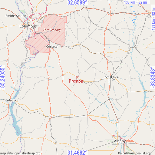
Preston GPS coordinates[2]
32° 3' 57.564" North, 84° 32' 14.712" West
| Map corner | latitude | longitude |
|---|---|---|
| Upper-left | 32.6599°, | -85.24055° |
| Center: | 32.06599°, | -84.53742° |
| Lower-right: | 31.4682°, | -83.8343° |
| Map W x H: | 132.5×132.5 km | = 82.3×82.3mi |
| max Lat: | 71.29058° ⇑88.4% North |
| Preston: | 32.06599° |
| min Lat: | ⇓11.6% South 19.06759° |
| min Long | Preston | max Long |
| -171.73463° | -84.53742° | -66.98998° |
| W 57.3%⇐ | ⇒42.7% E |
Elevation
Elevation of Preston is 141 m = 463 ft, and this is 153.8 m = 505 ft below average elevation for this country.
| Max E: |
3189 m = 10463 ft | 62.6% |
| Avg. | 294.8 m = 967 ft | |
| Preston | 141 m = 463 ft | |
Min E: |
-60 m = -197 ft | 37.4% |
See also: United States elevation on elevation.city.
Geographical zone
Preston is located in North temperate zone (between Tropic of Cancer and the Arctic Circle). Distance of this Northern Tropic circle is 959.5 km =596.2 mi to South.| Distance of | km | miles | from Preston |
|---|---|---|---|
| North Pole | 6441.7 | 4002.7 | to North |
| Arctic Circle | 3835.8 | 2383.5 | to North |
| Tropic Cancer | 959.5 | 596.2 | to South |
| Equator | 3565.4 | 2215.4 | to South |


Nearby cities:
15 places around Preston: (largest is in red/bold)
• Americus
28.7 km =17.8 mi,  88°
88°
• Buena Vista
28.2 km =17.5 mi,  3°
3°
• Cusseta
34.6 km =21.5 mi,  320°
320°
• Cuthbert
40.5 km =25.2 mi,  215°
215°
• Dawson
33.6 km =20.9 mi,  165°
165°
• Ellaville
28.8 km =17.9 mi,  48°
48°
• Georgetown
57.4 km =35.7 mi,  249°
249°
• Leesburg
50.8 km =31.6 mi,  137°
137°
• Lumpkin
24.7 km =15.3 mi,  266°
266°
• Montezuma
54.9 km =34.1 mi,  61°
61°
• Oglethorpe
51.5 km =32 mi, 60°
• Plains
14.1 km =8.8 mi,  104°
104°
• Richland
12.5 km =7.8 mi,  281°
281°
• Shellman
35.2 km =21.9 mi,  192°
192°
• Smithville
32.6 km =20.3 mi,  124°
124°
Sources, notices
• [Note1] Compared only with cities in United States existing in our database
• [Src1] Map data: © OpenStreetMap contributors (CC-BY-SA)
• [Src2] Other city data from geonames.org with taken over terms of usage.
• [Src3] Geographical zone / Annual Mean Temperature by Robert A. Rohde @ Wikipedia
