Lyndon geodata
Lyndon (Kansas) is a seat of a second-order administrative division; located in United States in America/Chicago (GMT-5) time zone. With population of 1,023 people, there are 16130 cities with bigger population in this country. Compared to other cities in United States, 58% of cities are located further ↑North; 72.8% of cities are located further →East and 76% of cities have lower elevation than Lyndon. Note1


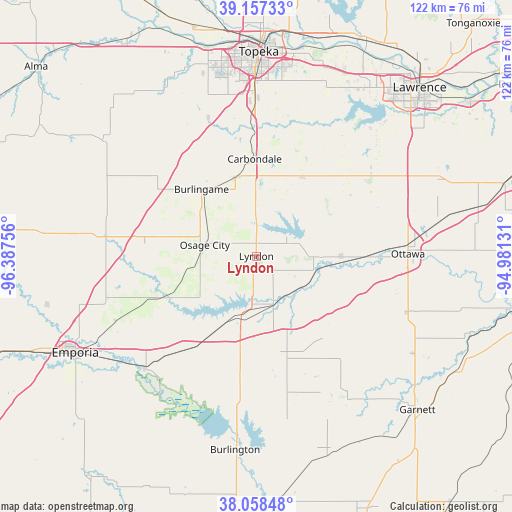
Lyndon GPS coordinates[2]
38° 36' 36.036" North, 95° 41' 3.948" West
| Map corner | latitude | longitude |
|---|---|---|
| Upper-left | 39.15733°, | -96.38756° |
| Center: | 38.61001°, | -95.68443° |
| Lower-right: | 38.05848°, | -94.98131° |
| Map W x H: | 122.2×122.2 km | = 75.9×75.9mi |
| max Lat: | 71.29058° ⇑58% North |
| Lyndon: | 38.61001° |
| min Lat: | ⇓42% South 19.06759° |
| min Long | Lyndon | max Long |
| -171.73463° | -95.68443° | -66.98998° |
| W 27.2%⇐ | ⇒72.8% E |
Elevation
Elevation of Lyndon is 320 m = 1050 ft, and this is 25.2 m = 83 ft above average elevation for this country.
| Max E: |
3189 m = 10463 ft | 24% |
| Lyndon | 320 m 1050 ft | |
| Avg. | 294.8 m = 967 ft | |
Min E: |
-60 m = -197 ft | 76% |
See also: United States elevation on elevation.city.
Geographical zone
Lyndon is located in North temperate zone (between Tropic of Cancer and the Arctic Circle). Distance of this Northern Tropic circle is 1687.1 km =1048.3 mi to South.| Distance of | km | miles | from Lyndon |
|---|---|---|---|
| North Pole | 5714 | 3550.5 | to North |
| Arctic Circle | 3108.1 | 1931.3 | to North |
| Tropic Cancer | 1687.1 | 1048.3 | to South |
| Equator | 4293 | 2667.5 | to South |


Nearby cities:
15 places around Lyndon: (largest is in red/bold)
• Auburn
34.8 km =21.6 mi,  340°
340°
• Baldwin City
47 km =29.2 mi,  67°
67°
• Burlingame
20.7 km =12.9 mi,  320°
320°
• Burlington
46.5 km =28.9 mi,  186°
186°
• Carbondale
23.2 km =14.4 mi,  358°
358°
• Eskridge
46.1 km =28.6 mi,  306°
306°
• Lebo
26 km =16.2 mi,  214°
214°
• Osage City
12.6 km =7.8 mi,  282°
282°
• Ottawa
36.2 km =22.5 mi,  89°
89°
• Overbrook
21.9 km =13.6 mi,  30°
30°
• Pomona
20.1 km =12.5 mi, 94°
• Pomona
20.2 km =12.6 mi, 90°
• Scranton
19.7 km =12.2 mi,  346°
346°
• Vassar
6.8 km =4.2 mi,  52°
52°
• Waverly
25.1 km =15.6 mi,  163°
163°
Sources, notices
• [Note1] Compared only with cities in United States existing in our database
• [Src1] Map data: © OpenStreetMap contributors (CC-BY-SA)
• [Src2] Other city data from geonames.org with taken over terms of usage.
• [Src3] Geographical zone / Annual Mean Temperature by Robert A. Rohde @ Wikipedia
