Ottawa geodata
Ottawa (Kansas) is a seat of a second-order administrative division; located in United States in America/Chicago (GMT-5) time zone. With population of 12,387 people, there are 3799 cities with bigger population in this country. Compared to other cities in United States, 58% of cities are located further ↑North; 71.8% of cities are located further →East and 68.2% of cities have lower elevation than Ottawa. Note1


Ottawa GPS coordinates[2]
38° 36' 56.052" North, 95° 16' 3.9" West
| Map corner | latitude | longitude |
|---|---|---|
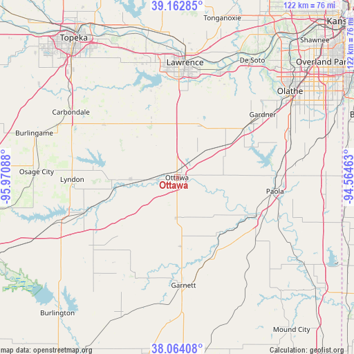
| Upper-left | 39.16285°, | -95.97088° |
| Center: | 38.61557°, | -95.26775° |
| Lower-right: | 38.06408°, | -94.56463° |
| Map W x H: | 122.2×122.2 km | = 75.9×75.9mi |
| max Lat: | 71.29058° ⇑58% North |
| Ottawa: | 38.61557° |
| min Lat: | ⇓42% South 19.06759° |
| min Long | Ottawa | max Long |
| -171.73463° | -95.26775° | -66.98998° |
| W 28.2%⇐ | ⇒71.8% E |
Elevation
Elevation of Ottawa is 277 m = 909 ft, and this is 17.8 m = 58 ft below average elevation for this country.
| Max E: |
3189 m = 10463 ft | 31.8% |
| Avg. | 294.8 m = 967 ft | |
| Ottawa | 277 m = 909 ft | |
Min E: |
-60 m = -197 ft | 68.2% |
See also: United States elevation on elevation.city.
Geographical zone
Ottawa is located in North temperate zone (between Tropic of Cancer and the Arctic Circle). Distance of this Northern Tropic circle is 1687.7 km =1048.7 mi to South.| Distance of | km | miles | from Ottawa |
|---|---|---|---|
| North Pole | 5713.4 | 3550.1 | to North |
| Arctic Circle | 3107.5 | 1930.9 | to North |
| Tropic Cancer | 1687.7 | 1048.7 | to South |
| Equator | 4293.6 | 2667.9 | to South |


Nearby cities:
15 places around Ottawa: (largest is in red/bold)
• Baldwin City
19.1 km =11.9 mi,  21°
21°
• Edgerton
28 km =17.4 mi,  53°
53°
• Eudora
39.3 km =24.4 mi, 21°
• Gardner
36.7 km =22.8 mi, 53°
• Garnett
37.3 km =23.2 mi,  176°
176°
• Lyndon
36.2 km =22.5 mi,  269°
269°
• New Century, KS
39.4 km =24.5 mi, 54°
• Osawatomie
30.6 km =19 mi,  115°
115°
• Overbrook
31.1 km =19.3 mi,  306°
306°
• Paola
34.1 km =21.2 mi,  98°
98°
• Pomona
16 km =9.9 mi, 267°
• Pomona
16.3 km =10.1 mi,  262°
262°
• Vassar
31 km =19.3 mi,  276°
276°
• Waverly
38.2 km =23.7 mi,  229°
229°
• Wellsville
19.8 km =12.3 mi, 54°
Sources, notices
• [Note1] Compared only with cities in United States existing in our database
• [Src1] Map data: © OpenStreetMap contributors (CC-BY-SA)
• [Src2] Other city data from geonames.org with taken over terms of usage.
• [Src3] Geographical zone / Annual Mean Temperature by Robert A. Rohde @ Wikipedia
