Fulton geodata
Fulton (Missouri) is a seat of a second-order administrative division; located in United States in America/Chicago (GMT-5) time zone. With population of 12,939 people, there are 3697 cities with bigger population in this country. Compared to other cities in United States, 56.2% of cities are located further ↑North; 64% of cities are located further →East and 59.1% of cities have lower elevation than Fulton. Note1
Administrative division(s):
- Level 1: Missouri
- Level 2: Callaway County
- Level 3: Township of West Fulton


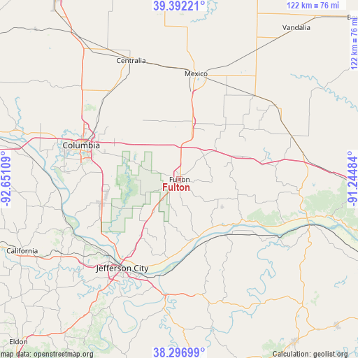
Fulton GPS coordinates[2]
38° 50' 48.156" North, 91° 56' 52.656" West
| Map corner | latitude | longitude |
|---|---|---|
| Upper-left | 39.39221°, | -92.65109° |
| Center: | 38.84671°, | -91.94796° |
| Lower-right: | 38.29699°, | -91.24484° |
| Map W x H: | 121.8×121.8 km | = 75.7×75.7mi |
| max Lat: | 71.29058° ⇑56.2% North |
| Fulton: | 38.84671° |
| min Lat: | ⇓43.8% South 19.06759° |
| min Long | Fulton | max Long |
| -171.73463° | -91.94796° | -66.98998° |
| W 36%⇐ | ⇒64% E |
Elevation
Elevation of Fulton is 236 m = 774 ft, and this is 58.8 m = 193 ft below average elevation for this country.
| Max E: |
3189 m = 10463 ft | 40.9% |
| Avg. | 294.8 m = 967 ft | |
| Fulton | 236 m = 774 ft | |
Min E: |
-60 m = -197 ft | 59.1% |
See also: United States elevation on elevation.city.
Geographical zone
Fulton is located in North temperate zone (between Tropic of Cancer and the Arctic Circle). Distance of this Northern Tropic circle is 1713.4 km =1064.7 mi to South.| Distance of | km | miles | from Fulton |
|---|---|---|---|
| North Pole | 5687.7 | 3534.2 | to North |
| Arctic Circle | 3081.8 | 1914.9 | to North |
| Tropic Cancer | 1713.4 | 1064.7 | to South |
| Equator | 4319.3 | 2683.9 | to South |


Nearby cities:
15 places around Fulton: (largest is in red/bold)
• Ashland
28 km =17.4 mi,  253°
253°
• Auxvasse
19.6 km =12.2 mi,  12°
12°
• Centralia
43.6 km =27.1 mi,  337°
337°
• Columbia
35.4 km =22 mi,  289°
289°
• Hallsville
38.2 km =23.7 mi,  321°
321°
• Holts Summit
27.5 km =17.1 mi,  213°
213°
• Jefferson City
35.8 km =22.2 mi, 213°
• Linn
41 km =25.5 mi,  168°
168°
• Mexico
36.4 km =22.6 mi, 8°
• Montgomery City
41 km =25.5 mi,  69°
69°
• New Bloomfield
18.8 km =11.7 mi,  221°
221°
• New Florence
43.8 km =27.2 mi,  80°
80°
• Saint Martins
43.9 km =27.3 mi,  230°
230°
• Taos
39.3 km =24.4 mi,  195°
195°
• Wellsville
41.2 km =25.6 mi,  52°
52°
Sources, notices
• [Note1] Compared only with cities in United States existing in our database
• [Src1] Map data: © OpenStreetMap contributors (CC-BY-SA)
• [Src2] Other city data from geonames.org with taken over terms of usage.
• [Src3] Geographical zone / Annual Mean Temperature by Robert A. Rohde @ Wikipedia
