Wright City geodata
Wright City (Missouri) is a populated place; located in United States in America/Chicago (GMT-5) time zone. With population of 3,445 people, there are 8919 cities with bigger population in this country. Compared to other cities in United States, 56.4% of cities are located further ↑North; 62.1% of cities are located further →East and 55.8% of cities have lower elevation than Wright City. Note1
Administrative division(s):
- Level 1: Missouri
- Level 2: Warren County
- Level 3: Township of Hickory Grove


Wright City GPS coordinates[2]
38° 49' 39.18" North, 91° 1' 12.504" West
| Map corner | latitude | longitude |
|---|---|---|
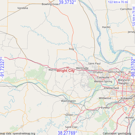
| Upper-left | 39.3732°, | -91.72327° |
| Center: | 38.82755°, | -91.02014° |
| Lower-right: | 38.27769°, | -90.31702° |
| Map W x H: | 121.8×121.8 km | = 75.7×75.7mi |
| max Lat: | 71.29058° ⇑56.4% North |
| Wright City: | 38.82755° |
| min Lat: | ⇓43.6% South 19.06759° |
| min Long | Wright City | max Long |
| -171.73463° | -91.02014° | -66.98998° |
| W 37.9%⇐ | ⇒62.1% E |
Elevation
Elevation of Wright City is 222 m = 728 ft, and this is 72.8 m = 239 ft below average elevation for this country.
| Max E: |
3189 m = 10463 ft | 44.2% |
| Avg. | 294.8 m = 967 ft | |
| Wright City | 222 m = 728 ft | |
Min E: |
-60 m = -197 ft | 55.8% |
See also: United States elevation on elevation.city.
Geographical zone
Wright City is located in North temperate zone (between Tropic of Cancer and the Arctic Circle). Distance of this Northern Tropic circle is 1711.3 km =1063.4 mi to South.| Distance of | km | miles | from Wright City |
|---|---|---|---|
| North Pole | 5689.8 | 3535.5 | to North |
| Arctic Circle | 3084 | 1916.3 | to North |
| Tropic Cancer | 1711.3 | 1063.4 | to South |
| Equator | 4317.2 | 2682.6 | to South |


Nearby cities:
15 places around Wright City: (largest is in red/bold)
• Dardenne Prairie
26 km =16.2 mi,  104°
104°
• Flint Hill
14.1 km =8.8 mi,  77°
77°
• Foristell
5.7 km =3.5 mi, 104°
• Hawk Point
18.6 km =11.6 mi,  328°
328°
• Innsbrook
7.1 km =4.4 mi,  203°
203°
• Jonesburg
24.9 km =15.5 mi,  276°
276°
• Lake Saint Louis
20.6 km =12.8 mi, 99°
• Marthasville
22.4 km =13.9 mi,  188°
188°
• Moscow Mills
16 km =9.9 mi,  33°
33°
• O'Fallon
27.8 km =17.3 mi,  93°
93°
• Saint Paul
24.4 km =15.2 mi, 81°
• Troy
17.2 km =10.7 mi,  11°
11°
• Truesdale
9.7 km =6 mi,  259°
259°
• Warrenton
10.7 km =6.6 mi, 260°
• Wentzville
14.6 km =9.1 mi, 97°
Sources, notices
• [Note1] Compared only with cities in United States existing in our database
• [Src1] Map data: © OpenStreetMap contributors (CC-BY-SA)
• [Src2] Other city data from geonames.org with taken over terms of usage.
• [Src3] Geographical zone / Annual Mean Temperature by Robert A. Rohde @ Wikipedia
